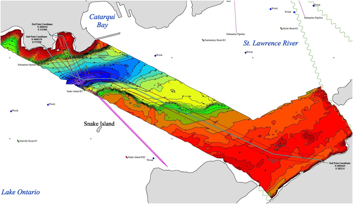
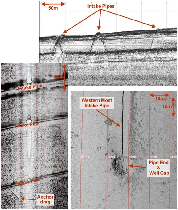
Wind Farm Submarine Cable Route
CSR was contracted to perform a marine geophysical survey for a wind power project in The Great Lakes. The project involved the acquisition of high-resolution geophysical data to determine safe routing for the submarine cable.
The geophysical survey included sidescan sonar, sub-bottom profiler, single channel seismic, magnetometer, and single beam echosounder along the route and landfall locations. All geophysical data was interpreted and maps of the selected route were compiled of the bathymetry, surficial geology, surficial features, shallow sub-surface geology and hazards.
Gallery
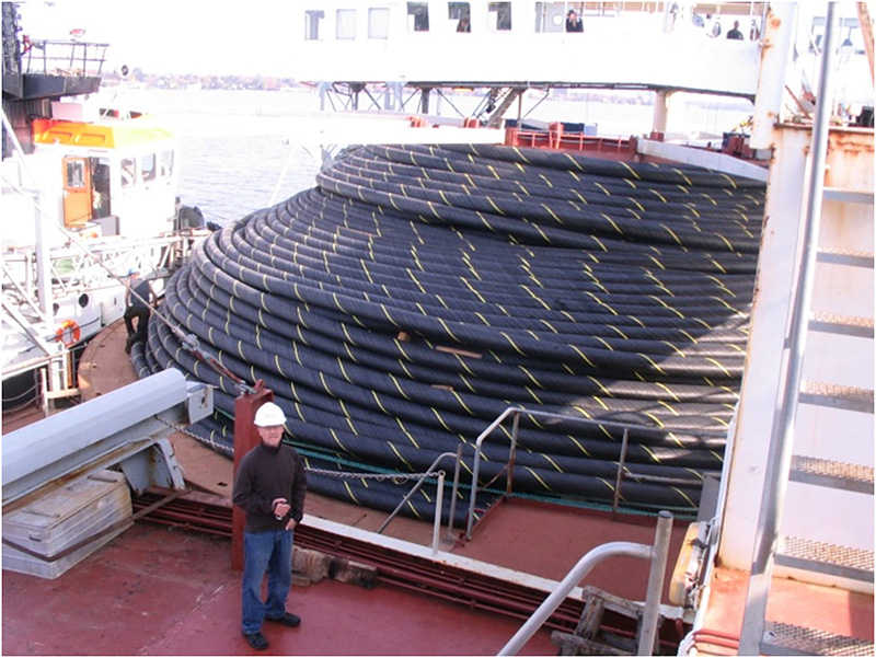
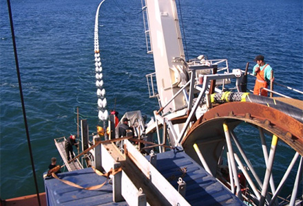
“The submarine cable was successfully installed and has been spliced into the land cable on both ends. Everything worked out well. The actual installation process took less than 2 days including the ‘pull in’ to shore. The installed cable length was almost exactly what was calculated from the survey and the drawings. Good work.”
- Port Development Project, Montserrat
- Chukchi Shelf Regional Studies
- Submarine Cable Reinforcement Project
- Offshore Wind Turbine Project
- HVDC Submarine Power Cable Project
- Submarine Pipeline Project
- Sea of Okhotsk (Russian Arctic)
- Route Assessment Project, Chukchi Sea
- Resolute Bay (Canadian Arctic)
- Hydrographic Surveys, Halifax Harbour
- Wind Farm Submarine Cable Route
- Artificial Island Sediment Mobility Projects, Beaufort Sea