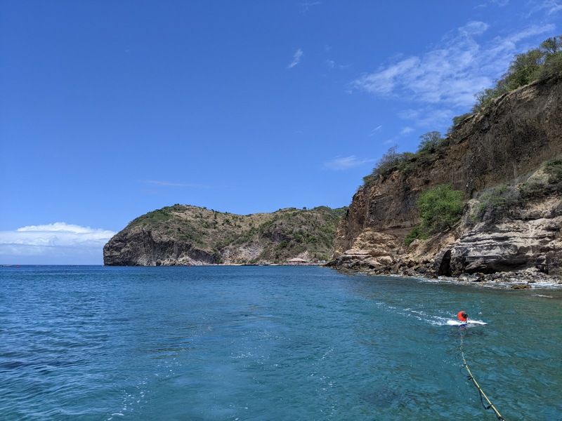
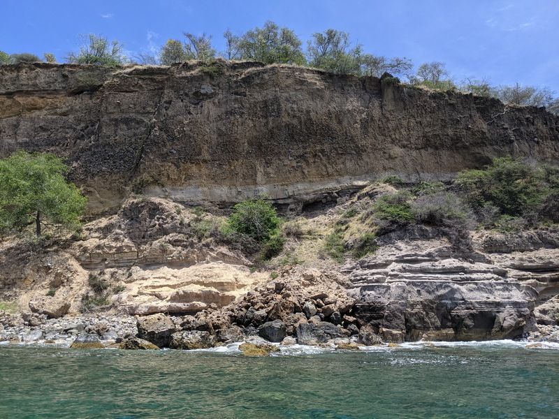
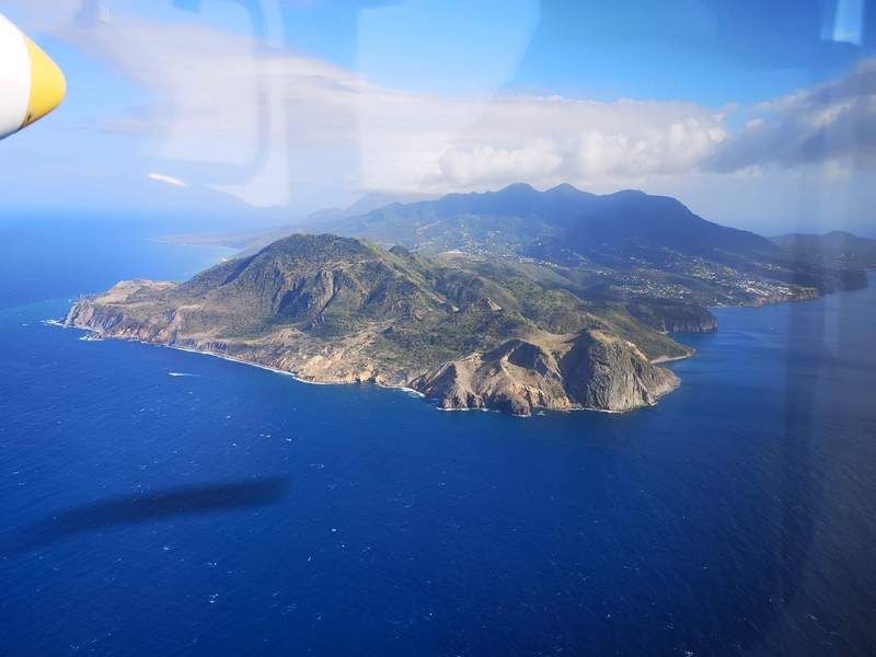
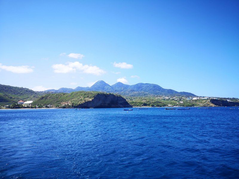
Port Development, Montserrat
CSR GeoSurveys Ltd. was contracted to conduct a marine geophysical survey to support the development of a new port facility for the Government of Montserrat in the Caribbean. Bathymetry, sub-bottom, and side scan sonar data were collected and processed to assist in dredge planning and engineering design for the project. Significant planning and preparations were required to ensure the safety of the crew, as the field work was conducted during the COVID-19 pandemic.
Gallery


- Port Development, Montserrat
- Chukchi Shelf Regional Studies
- Submarine Cable Reinforcement Project
- Offshore Wind Turbine Project
- HVDC Submarine Power Cable Project
- Submarine Pipeline Project
- Sea of Okhotsk (Russian Arctic)
- Route Assessment Project, Chukchi Sea
- Resolute Bay (Canadian Arctic)
- Hydrographic Surveys, Halifax Harbour
- Wind Farm Submarine Cable Route
- Artificial Island Sediment Mobility Projects, Beaufort Sea