Construction & Engineering Support
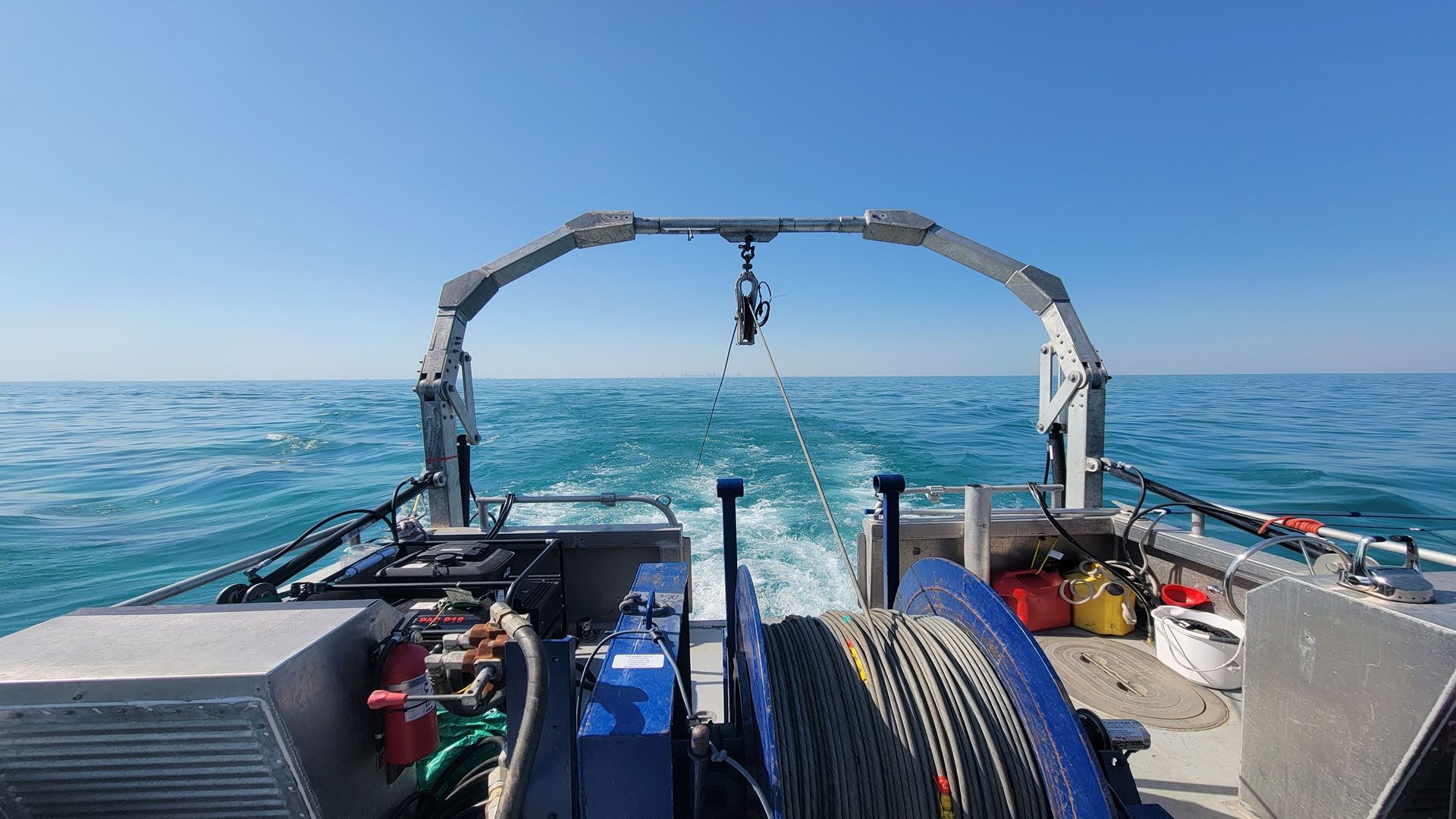
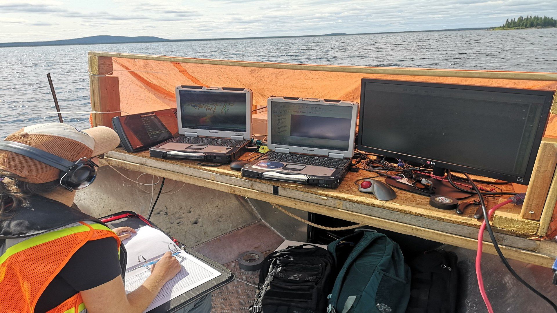
CSR GeoSurveys Ltd. is experienced in conducting hydrographic, geophysical, and geotechnical surveys for complex marine construction and engineering projects. We provide our clients with accurate information on bathymetry, seabed conditions, and subsurface geology to assist with the planning, design, and assessment of marine infrastructure, including bridges, piers, causeways, and dams. We conduct surveys in support of marine construction projects in offshore, nearshore, and inland environments.
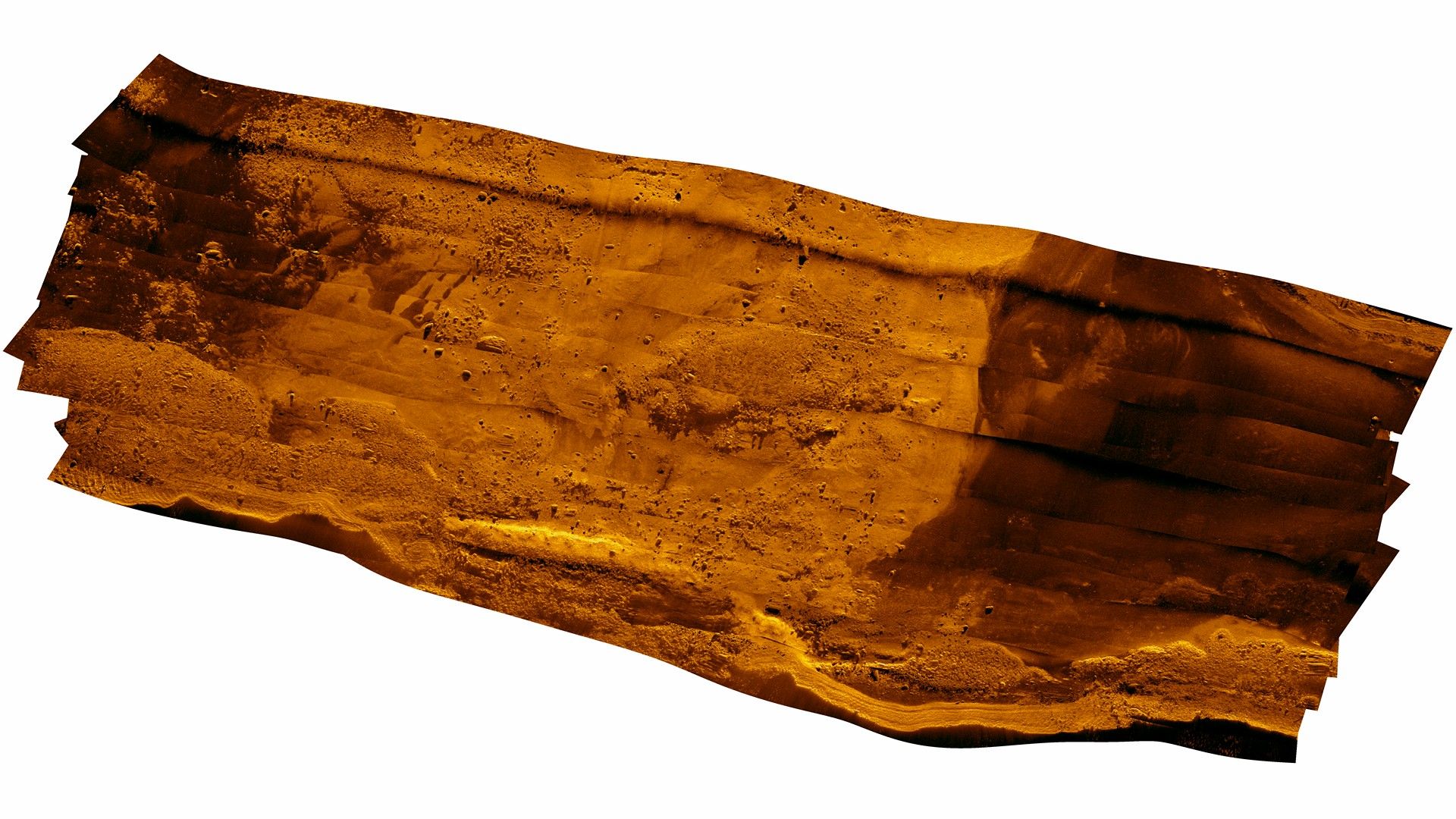
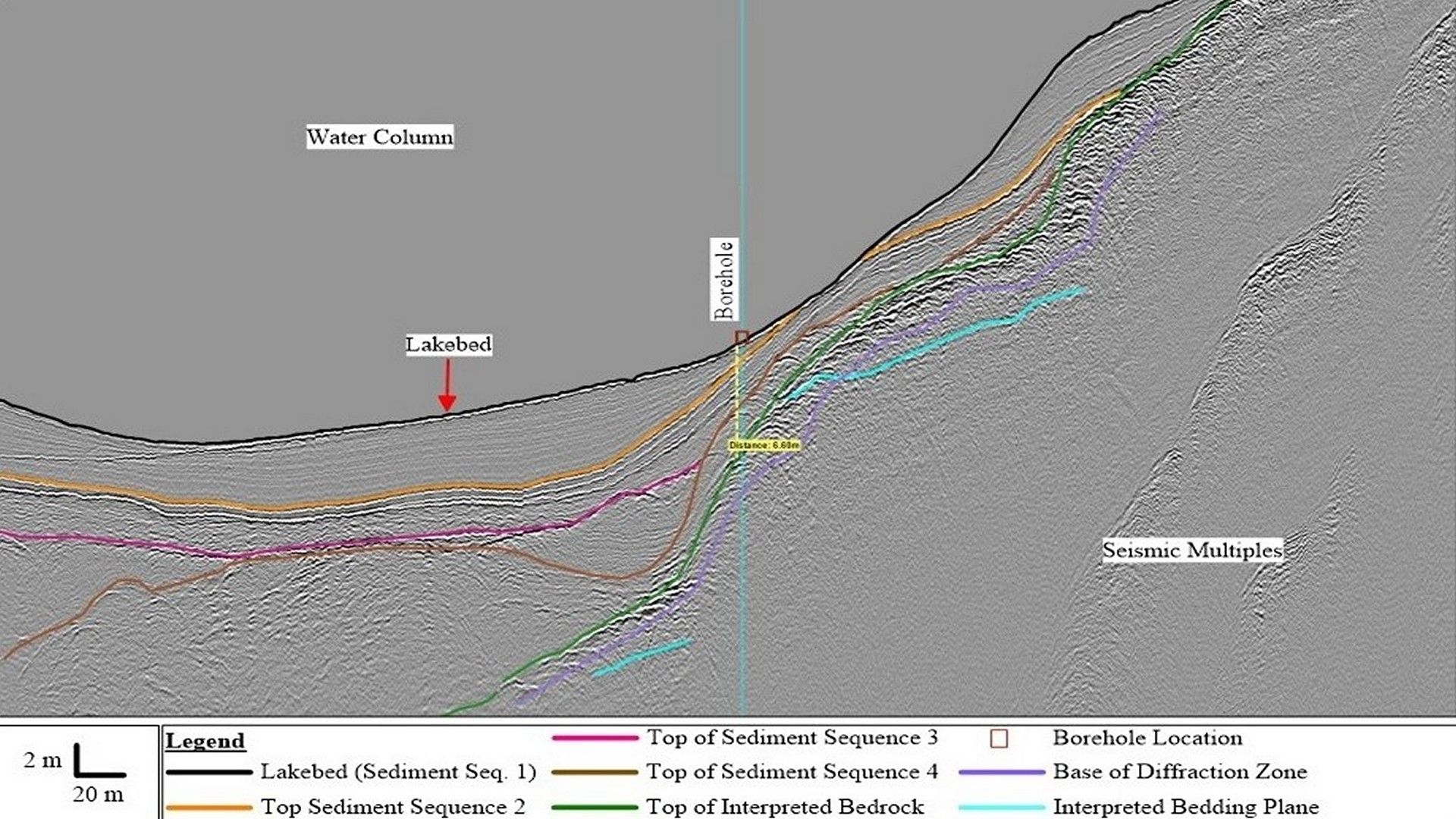
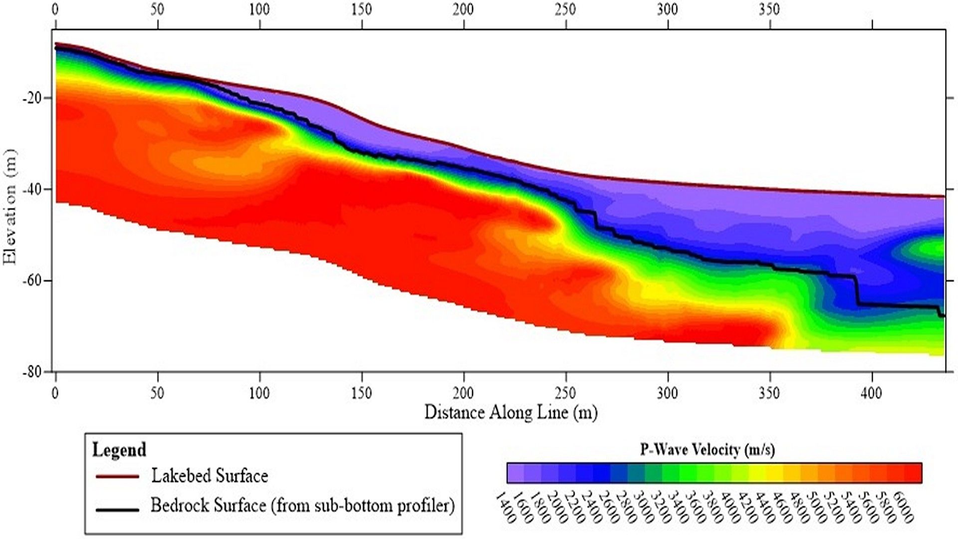
CSR specializes in utilizing sidescan sonar, sub-bottom profiling, single and multichannel seismic, and geotechnical sampling techniques to obtain information on subsurface geology at proposed marine construction sites. These survey methods can provide detailed information on sediment types, depth to bedrock, and geological hazards to assist developers in selecting the ideal locations, foundations, and equipment for construction projects.
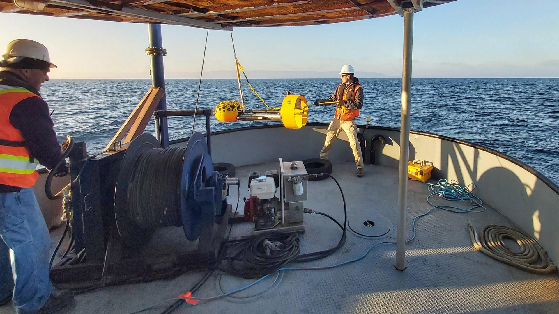
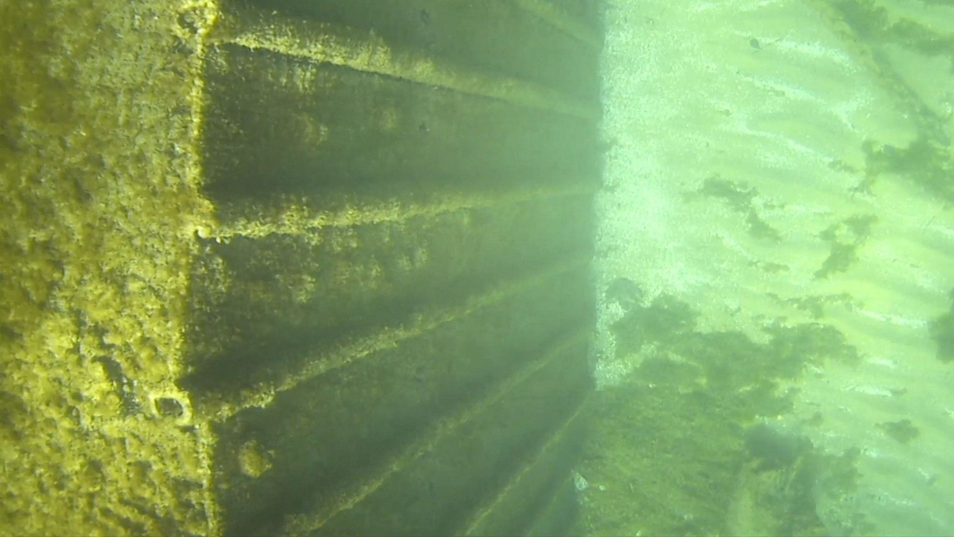
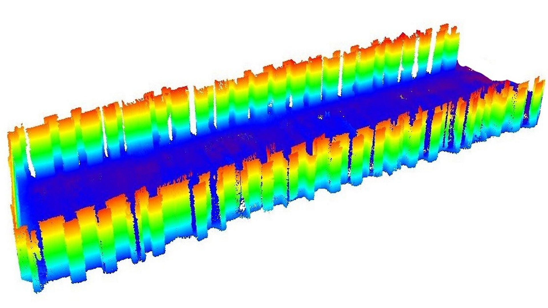
CSR conducts inspections and monitoring of underwater infrastructure utilizing high-resolution multibeam echosounder, sidescan sonar, and remotely operated vehicle (ROV) technology. Utilzing our advanced airborne LiDAR system we can acquire data over topside structural elements that can be merged with below water multibeam echosounder data to create a seamless 3D model of the marine infrastructure. We provide our clients with baseline datasets to support long-term infrastructure monitoring, as well as identify current areas or features that may warrant repair or maintenance.
Gallery
- Overview
- Pipeline & Cable Routing
- Dredging Support
- Navigation Safety & Charting
- Renewable Energy Developments
- Ghost Gear Locate & Recovery
- Ice Scour Mapping & Analysis
- Construction & Engineering Support
- Coastal Zone Mapping
- Port & Harbour Developments
- Geotechnical Investigations
- Environmental Mapping & Monitoring