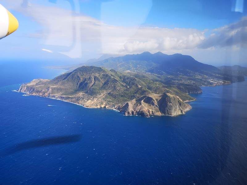
Port Development Project, Montserrat
CSR GeoSurveys Ltd. was contracted to conduct a marine geophysical survey to support the development of a new port facility for the Government of Montserrat in the Caribbean.
LEARN MORE >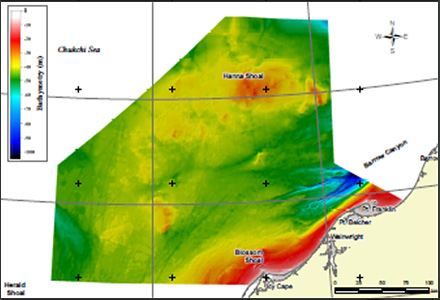
Chukchi Shelf Regional Studies
CSR GeoSurveys Ltd. were contracted to compile a regional bathymetry model of the Chukchi Shelf for future offshore planning and development of the area.
LEARN MORE >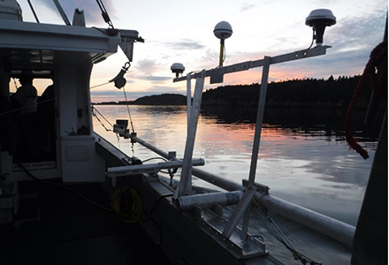
Submarine Cable Reinforcement Project
CSR GeoSurveys Ltd. was contractedto conduct hydrographic, geophysical and topographic surveys along the proposed routes for a submarine cable reinforcement project.
LEARN MORE >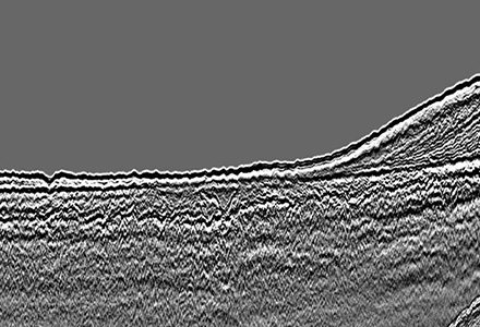
Offshore Wind Turbine Project
CSR GeoSurveys Ltd. conducted marine geophysical and geotechnical survey for an offshore wind project within the Great Lakes.
LEARN MORE >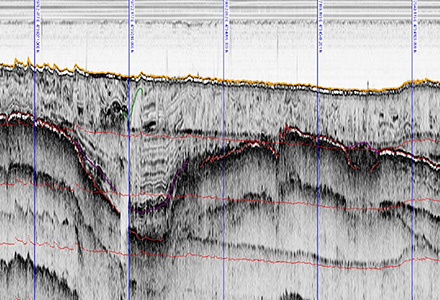
HVDC Submarine Power Cable Project
CSR GeoSurveys Ltd. conducted a marine geophysical survey and geotechnical exploration program for a HVDC submarine power cable project in The Great Lakes.
LEARN MORE >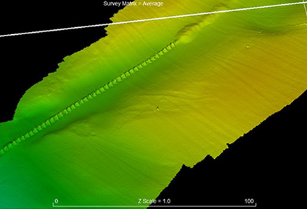
Submarine Pipeline Project
CSR GeoSurveys Ltd. conducted a marine geophysical survey and geotechnical exploration programto support the engineering and design of a submarine pipeline project for a major energy supplier in Canada.
LEARN MORE >
Sea of Okhotsk (Russian Arctic)
CSR conducted two surveys within the Sea of Okhotsk offshore Sakhalin Island for Exxon and Sakhalin Energy Investment Company.
LEARN MORE >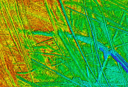
Route Assessment Project, Chukchi Sea
Resource development planning in the Chukchi Sea has led to the assessment of survey routes to obtain a better understanding of the ice gouge processes, surficial geology, and shallow sub-bottom geology.
LEARN MORE >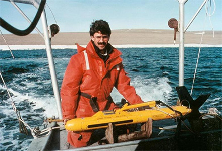
Resolute Bay (Canadian Arctic)
CSR conducted five consecutive years of repetitive ice scour mapping offshore Resolute in the high Canadian Arctic for the Geological Survey of Canada.
LEARN MORE >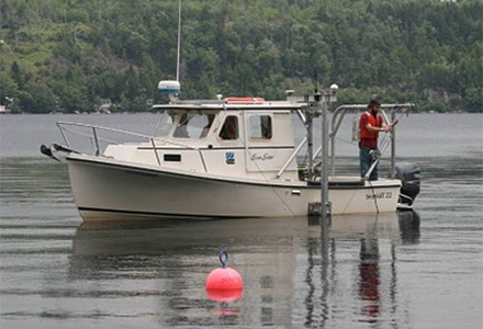
Hydrographic Surveys, Halifax Harbour
Since 1999CSR has conducted special order hydrographic surveys at several docks within Bedford Basin, Halifax Harbour.
LEARN MORE >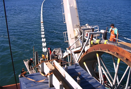
Wind Farm Submarine Cable Route
CSR was contracted to perform a marine geophysical survey for a wind power project in The Great Lakes.
LEARN MORE >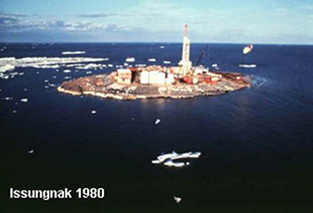
Artificial Island Sediment Mobility Projects, Beaufort Sea
Thirty-seven artificial islands were constructed in the Canadian Beaufort Sea between 1975 and 1989 in water depths ranging from 1m to 45m.
LEARN MORE >