Coastal Zone Mapping
Accelerating rates of sea-level rise and the higher frequency of significant weather events indicate erosion will have an increasingly adverse impact on people, property, and resources in coastal regions. CSR GeoSurveys Ltd. offers topographic and hydrographic survey solutions for mapping coastal zones to monitor changing coastlines, aid in land use and infrastructure planning, and help make informative coastal management and resource decisions.
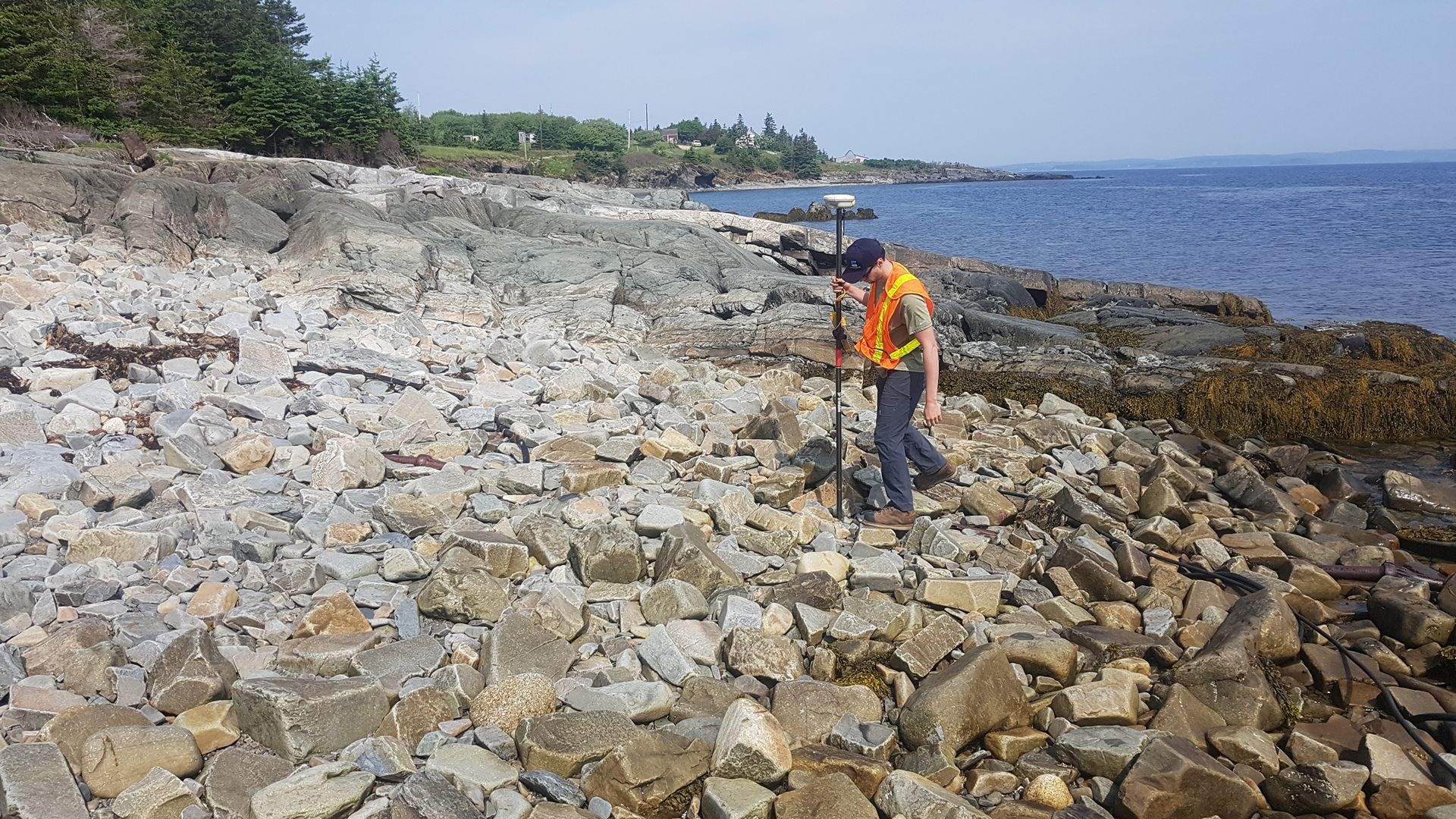
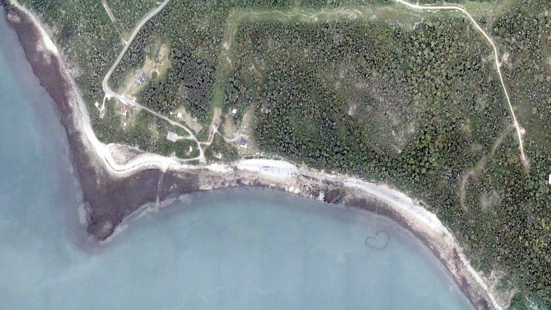
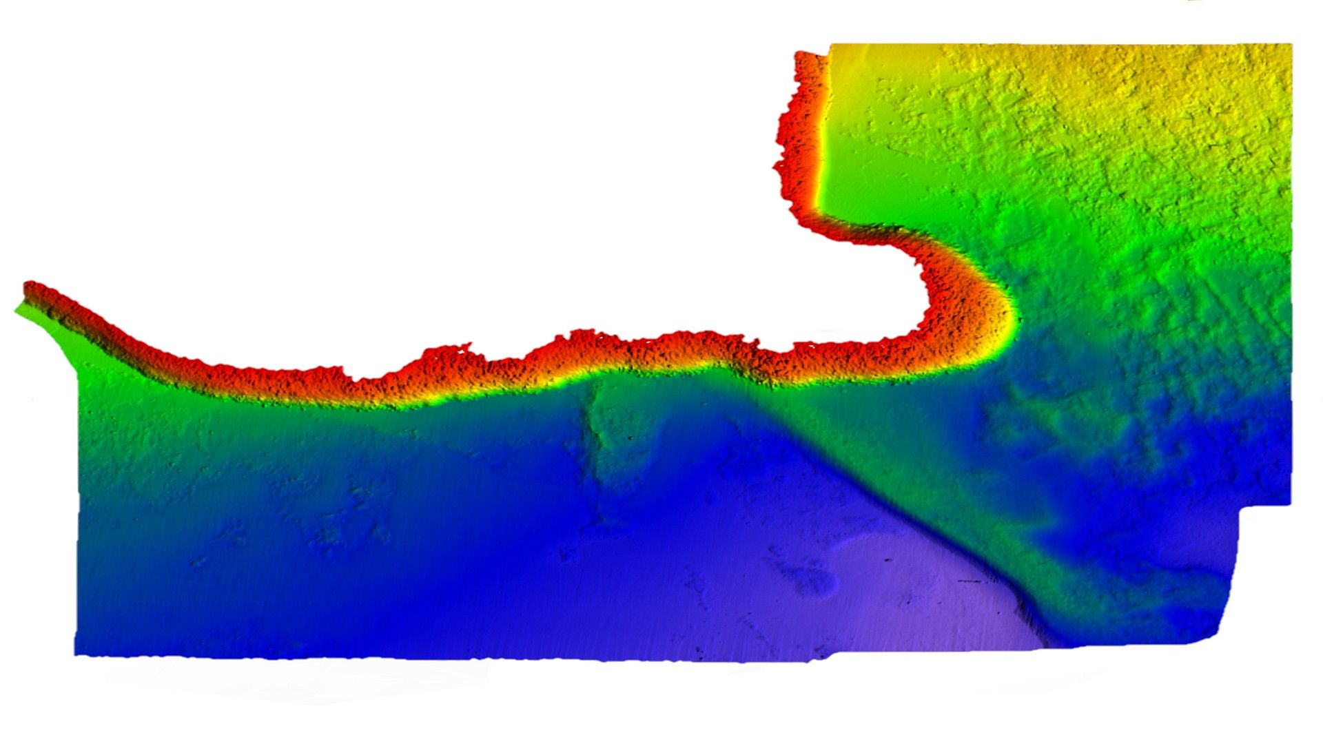
CSR utilizes advanced airborne LiDAR technology to obtain highly accurate topographic elevation data in coastal zones. Our DJI Matrice 350 RTK drone equipped with a DJI Zenmuse L2 LiDAR sensor can efficiently capture detailed data in inter-tidal zones, coastal marshes, steep and overgrown slopes, and cliffs, that may otherwise be inaccessible using traditional surveying methods. We provide our clients with high-quality topographic data in various formats, including digital elevation models (DEMs), contour maps, and point cloud data, that can be used to measure and monitor coastal morphological changes and sedimentation levels, as well as identify areas at risk of erosion or flooding.
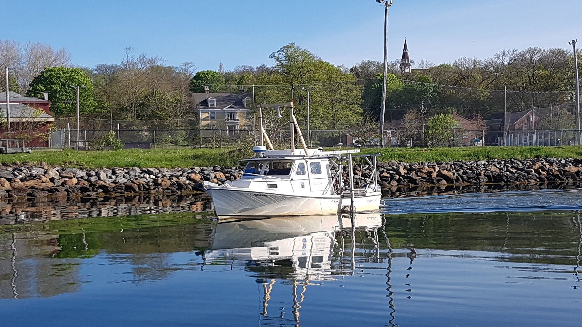
Airborne LiDAR survey methods can be integrated with our traditional marine survey techniques, including multibeam echosounder and RTK GNSS, to create seamless topographic-bathymetry elevation models. This data can be utilized to delineate shorelines, monitor coastal erosion, map biological resources, conduct habitat assessments, and assist in natural disaster planning and response.
Gallery
- Overview
- Pipeline & Cable Routing
- Dredging Support
- Navigation Safety & Charting
- Renewable Energy Developments
- Ghost Gear Locate & Recovery
- Ice Scour Mapping & Analysis
- Construction & Engineering Support
- Coastal Zone Mapping
- Port & Harbour Developments
- Geotechnical Investigations
- Environmental Mapping & Monitoring