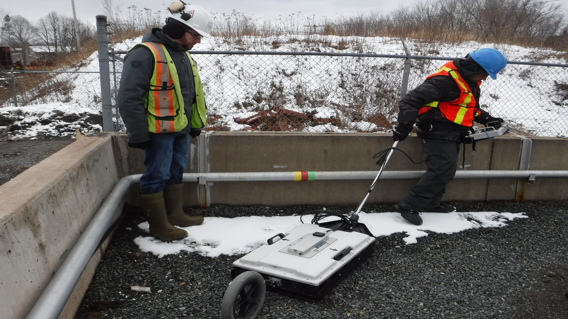
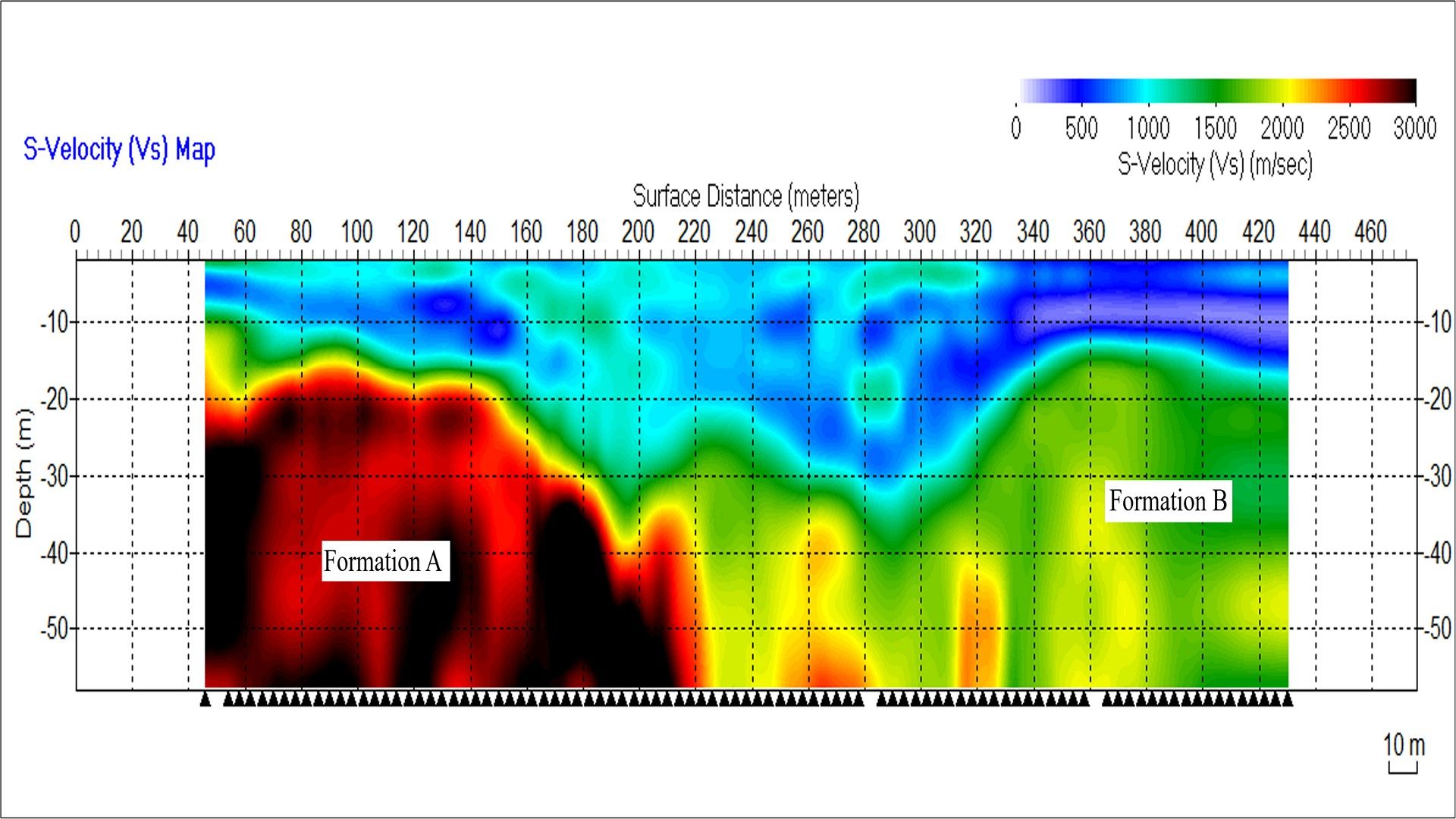
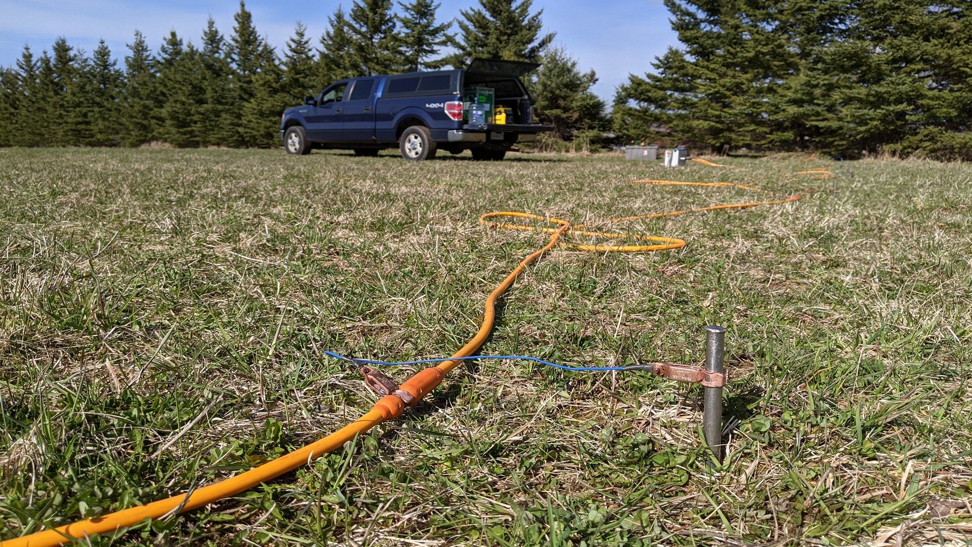
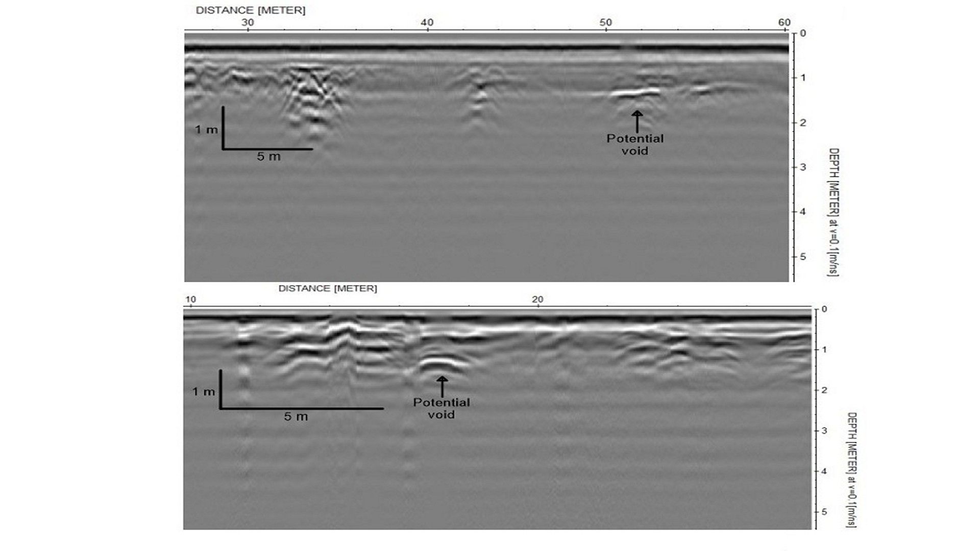
Ground Stability Investigations
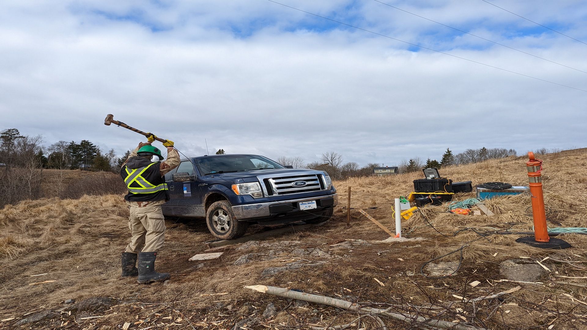
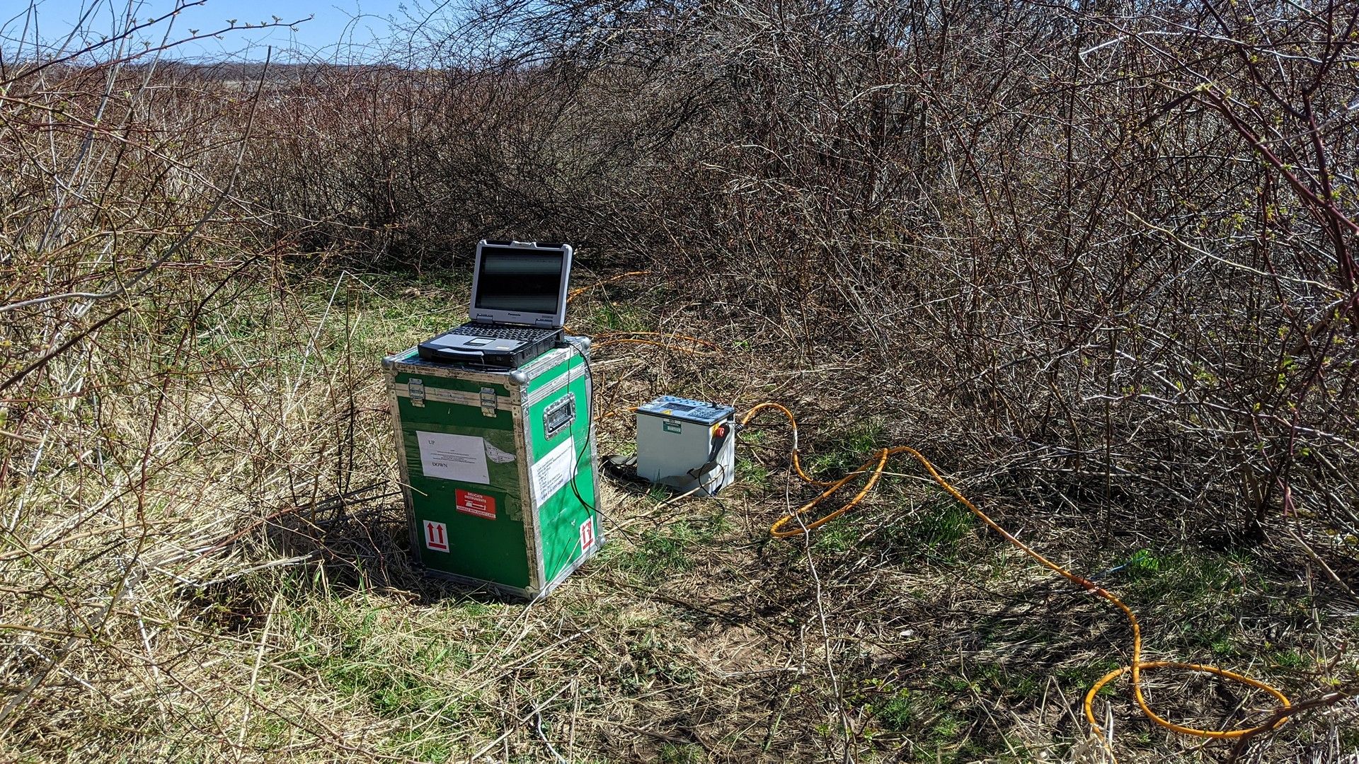
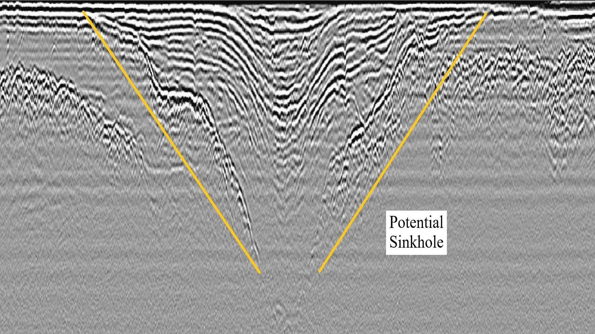
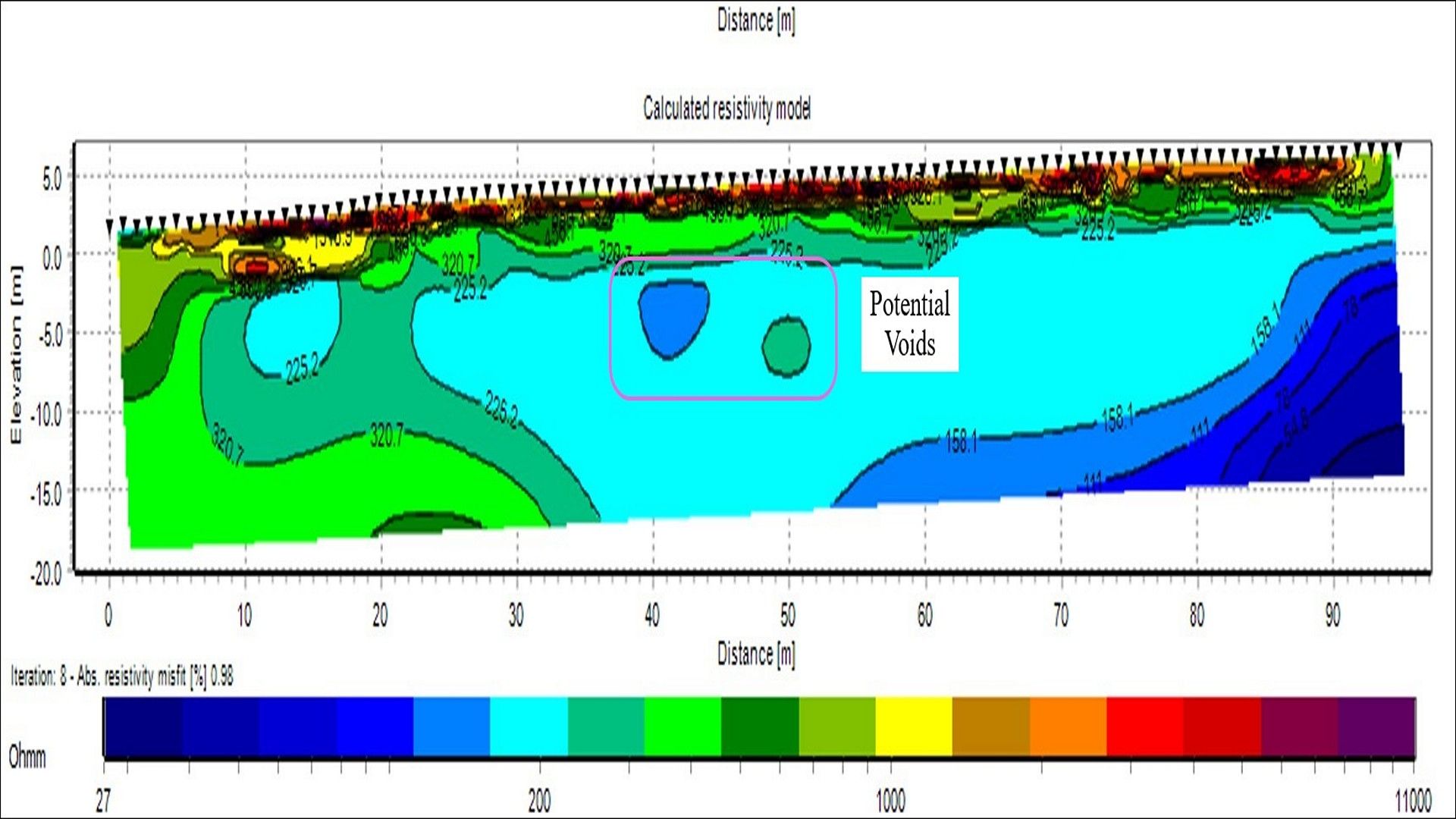
Whether it is evaluating aging infrastructure, planning for a critical crane lift, providing early detection for potential sinkholes, or identifying caverns/tunnels, understanding the load bearing characteristics and identifying other ground stability concerns can be a crucial part of any project. Geophysical surveys can assist engineers identify potential risks and provide information to plan projects accordingly. The primary methodologies utilized by CSR GeoSurveys Ltd. for ground stability investigations include ground penetrating radar (GPR), seismic, electrical resistivity tomography (ERT), and gravity.
Applications
- Soil and bedrock characterization
- Sinkhole identification
- Voiding and poor compaction
- Mapping mine workings/caverns
- Mapping potential water/sewer main breaks
- Planning critical crane lifts
- Dam/levee investigations
Gallery