Port & Harbour Developments
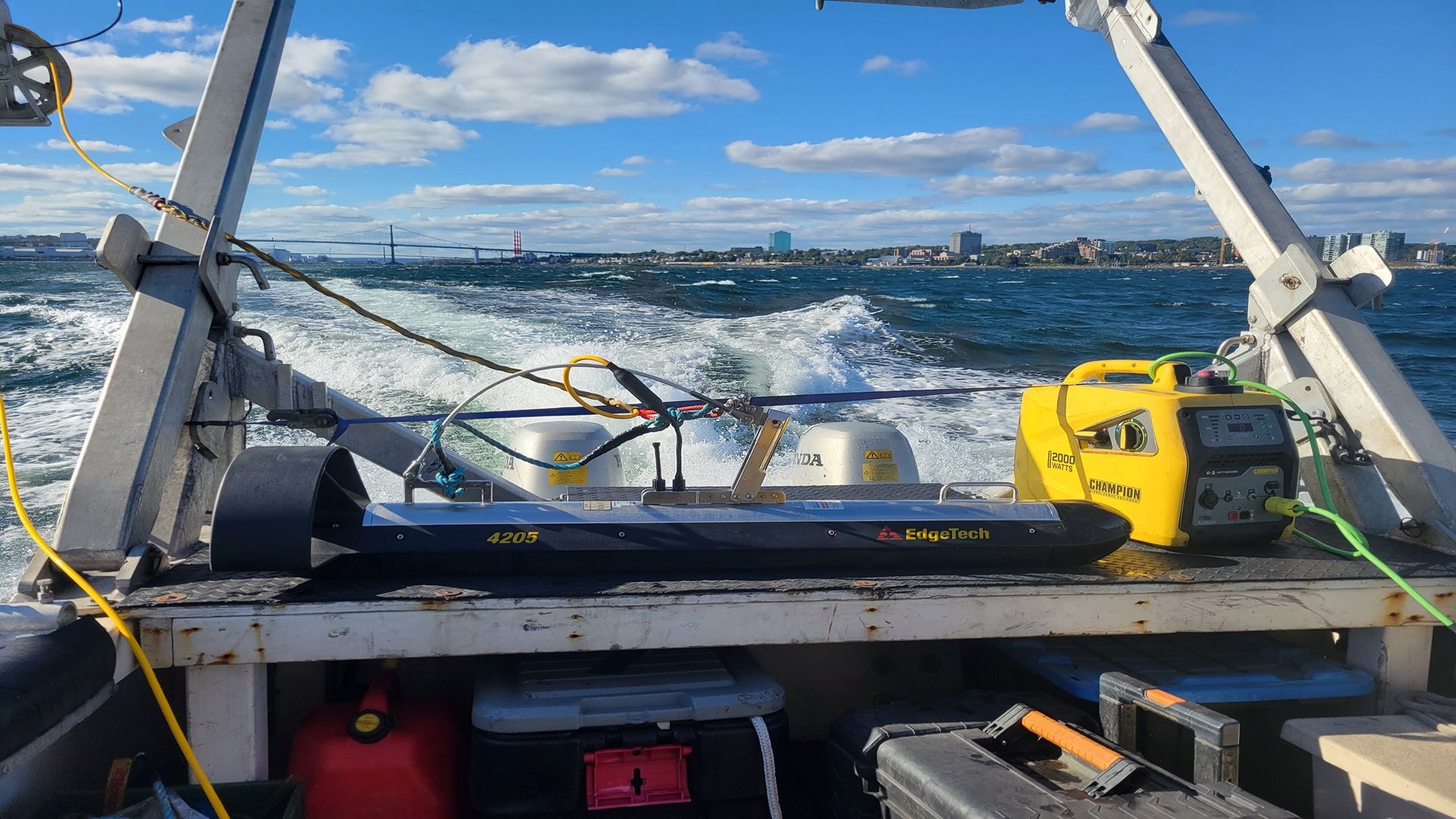
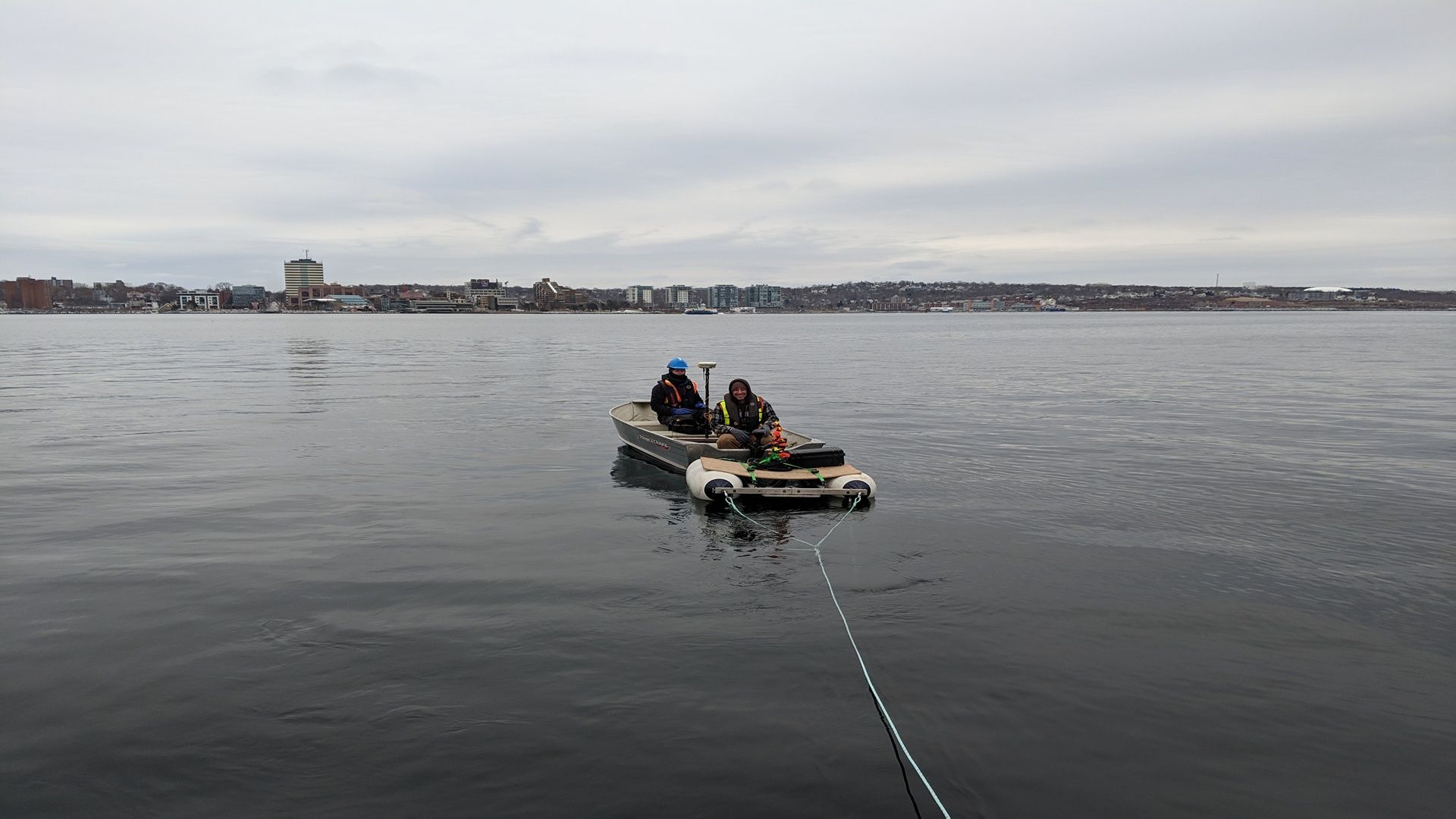
CSR GeoSurveys Ltd. has vast experience in conducting hydrographic and marine geophysical surveys to provide essential data for managing and developing ports, harbours, and marinas. We have conducted surveys to facilitate safe navigation and under-keel clearance in shipping channels and berthing areas, as well as for the development and maintenance of ferry, cruise ship, and container terminals.
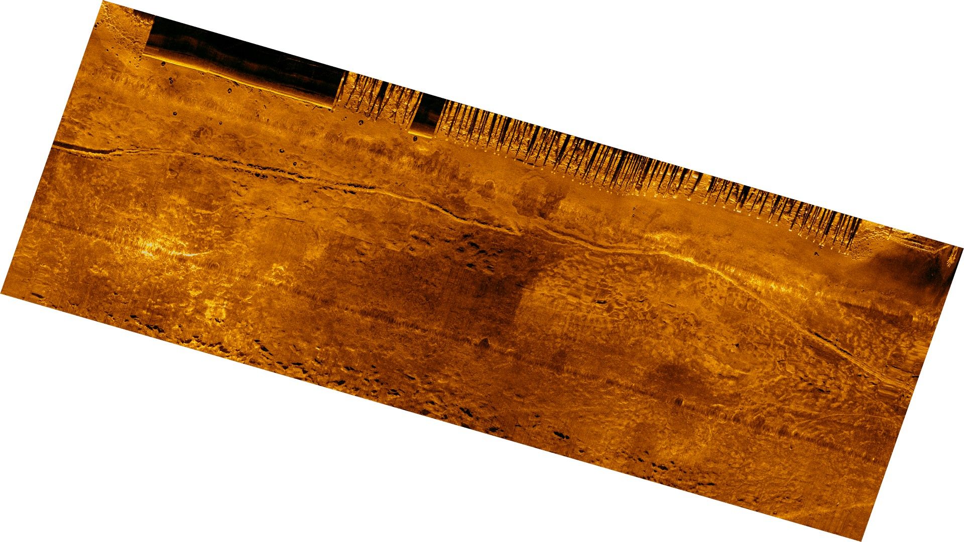
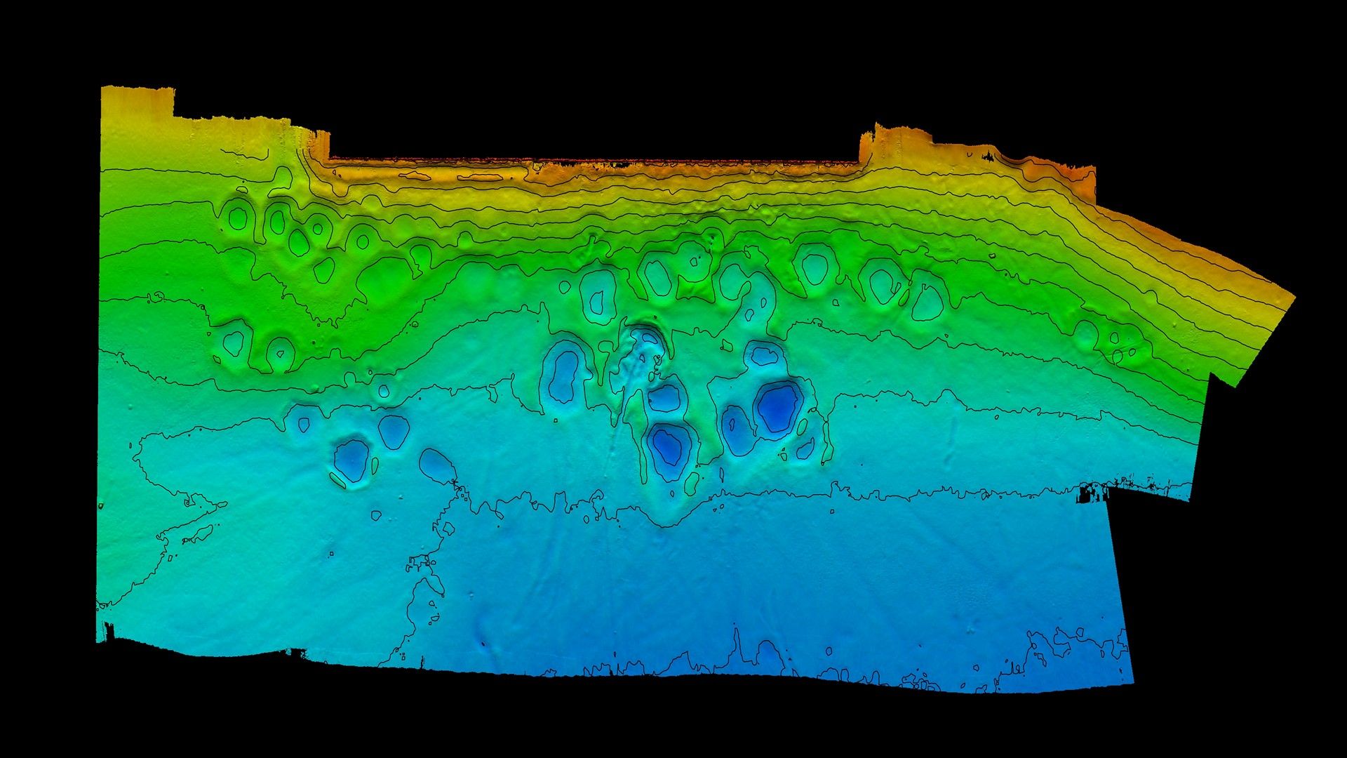
CSR specializes in conducting high-resolution multibeam surveys to provide precise bathymetry data for maintaining shipping channels, locating potential hazards to under-keel clearance, and predicting areas of shoaling. We offer repetitive bathymetry mapping services within ports and harbours to monitor sedimentation levels and identify areas of erosion or accretion that may require dredging or seabed levelling to maintain navigational safety.
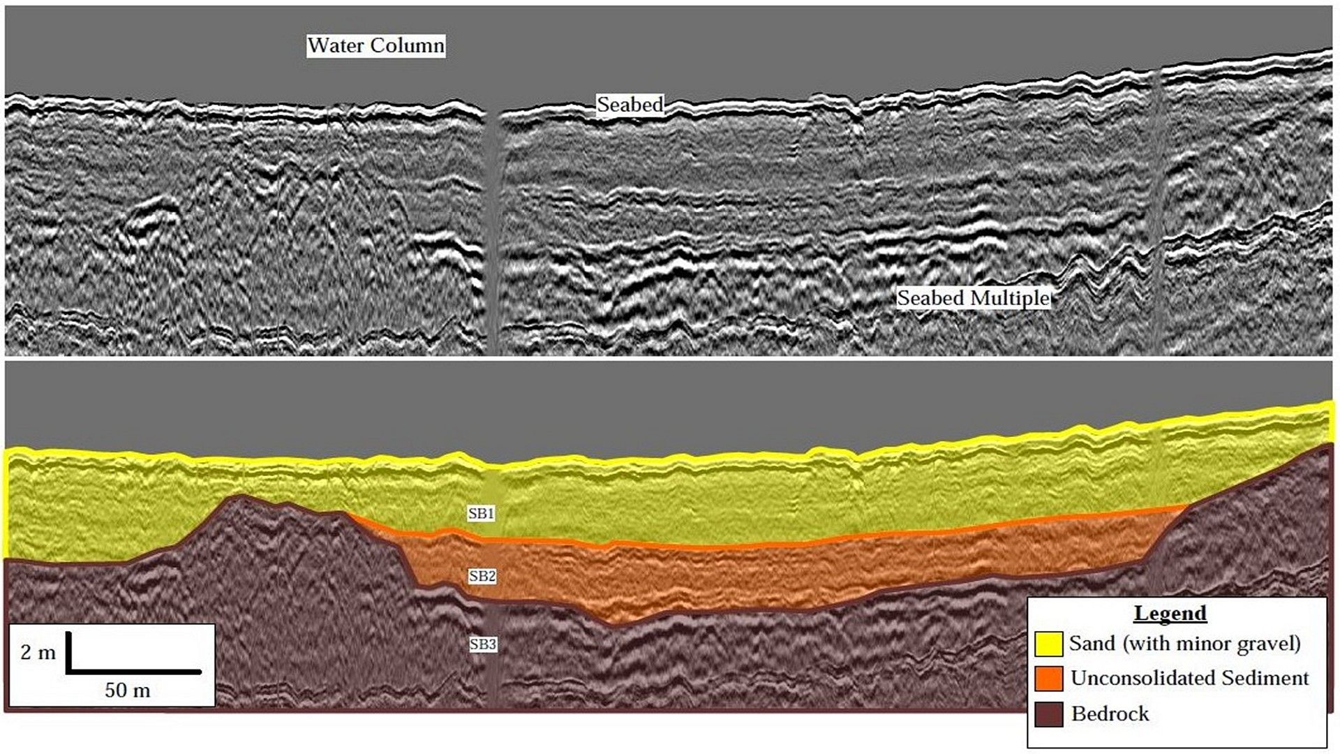
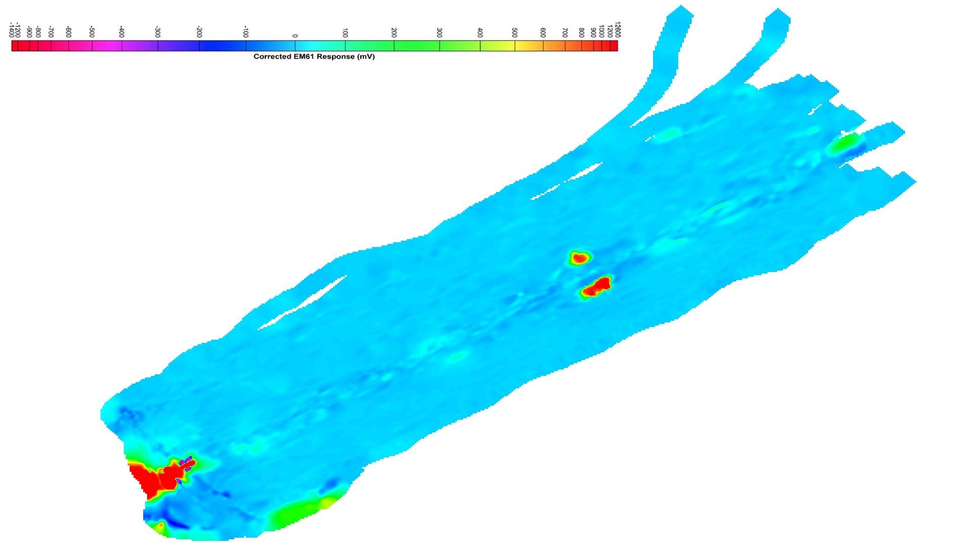
CSR also conducts comprehensive hydrographic, geophysical, and geotechnical surveys to provide information on seabed topography, characterize surficial and subsurface geology, and identify potential seabed hazards to aid in the development, maintenance, and decommissioning of port infrastructure.
Gallery
- Overview
- Pipeline & Cable Routing
- Dredging Support
- Navigation Safety & Charting
- Renewable Energy Developments
- Ghost Gear Locate & Recovery
- Ice Scour Mapping & Analysis
- Construction & Engineering Support
- Coastal Zone Mapping
- Port & Harbour Developments
- Geotechnical Investigations
- Environmental Mapping & Monitoring