Navigation Safety & Charting
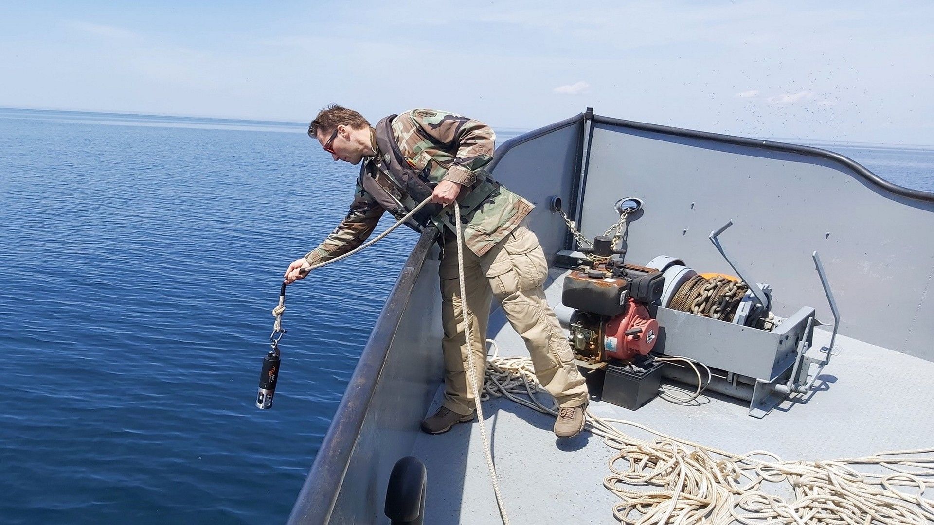
CSR GeoSurveys Ltd. specializes in conducting hydrographic and marine geophysical surveys for navigational safety, obstruction detection, and nautical charting in rivers, lakes, harbours, and offshore environments. Using the latest technologies, we provide our clients with precise depth measurements, shoreline positioning, tidal and water column data, and locations of seabed objects and submerged structures.
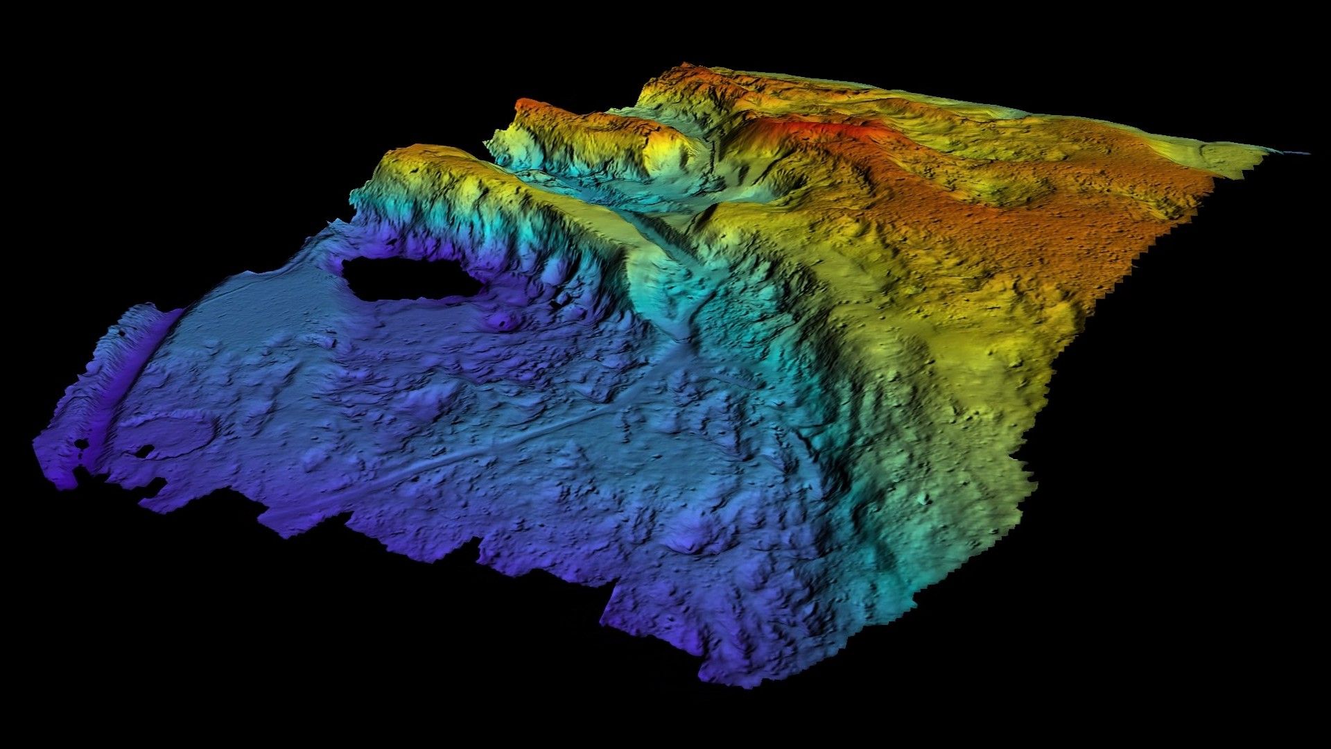
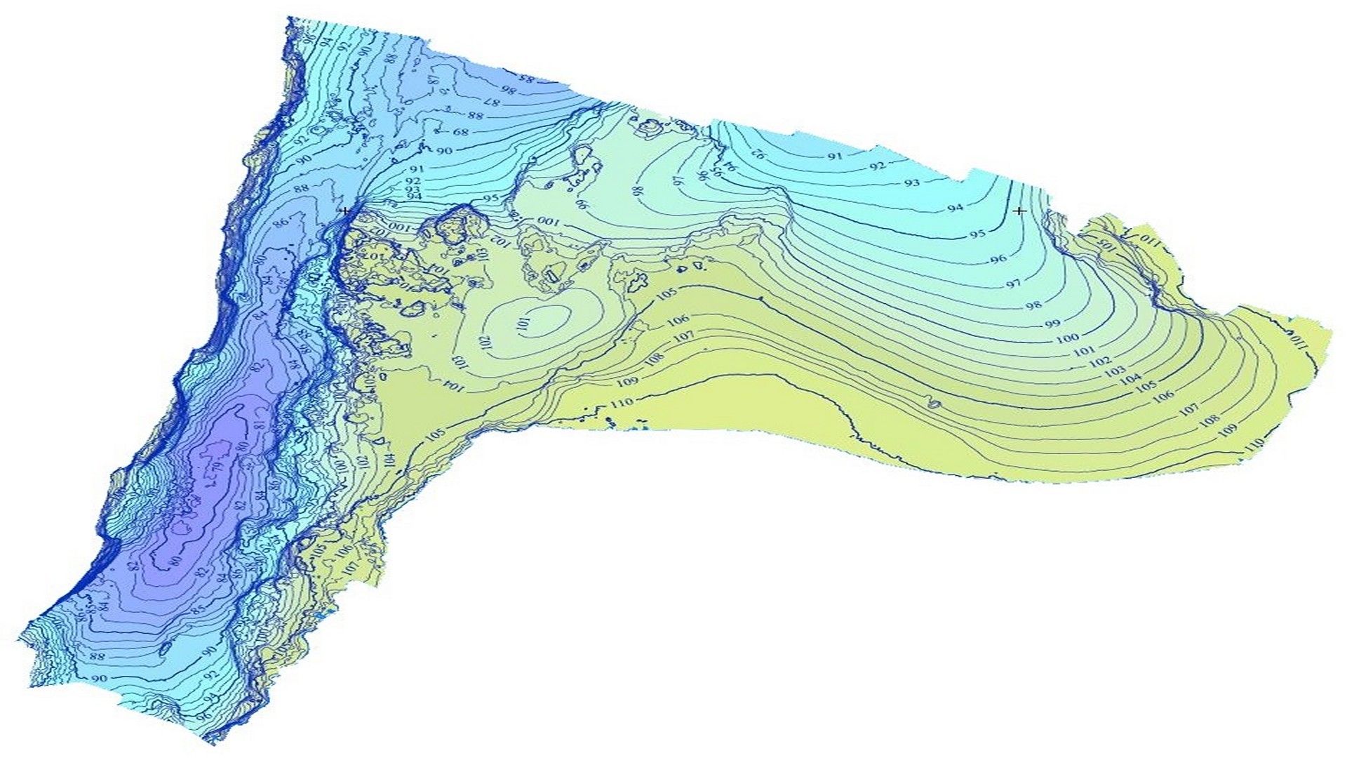
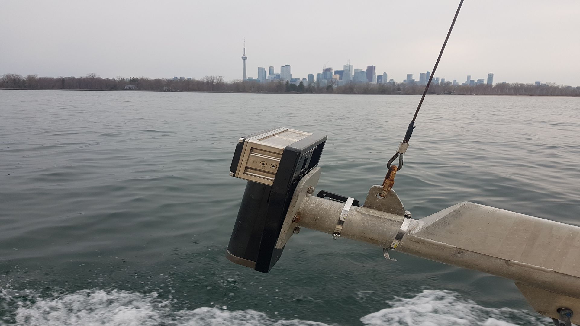
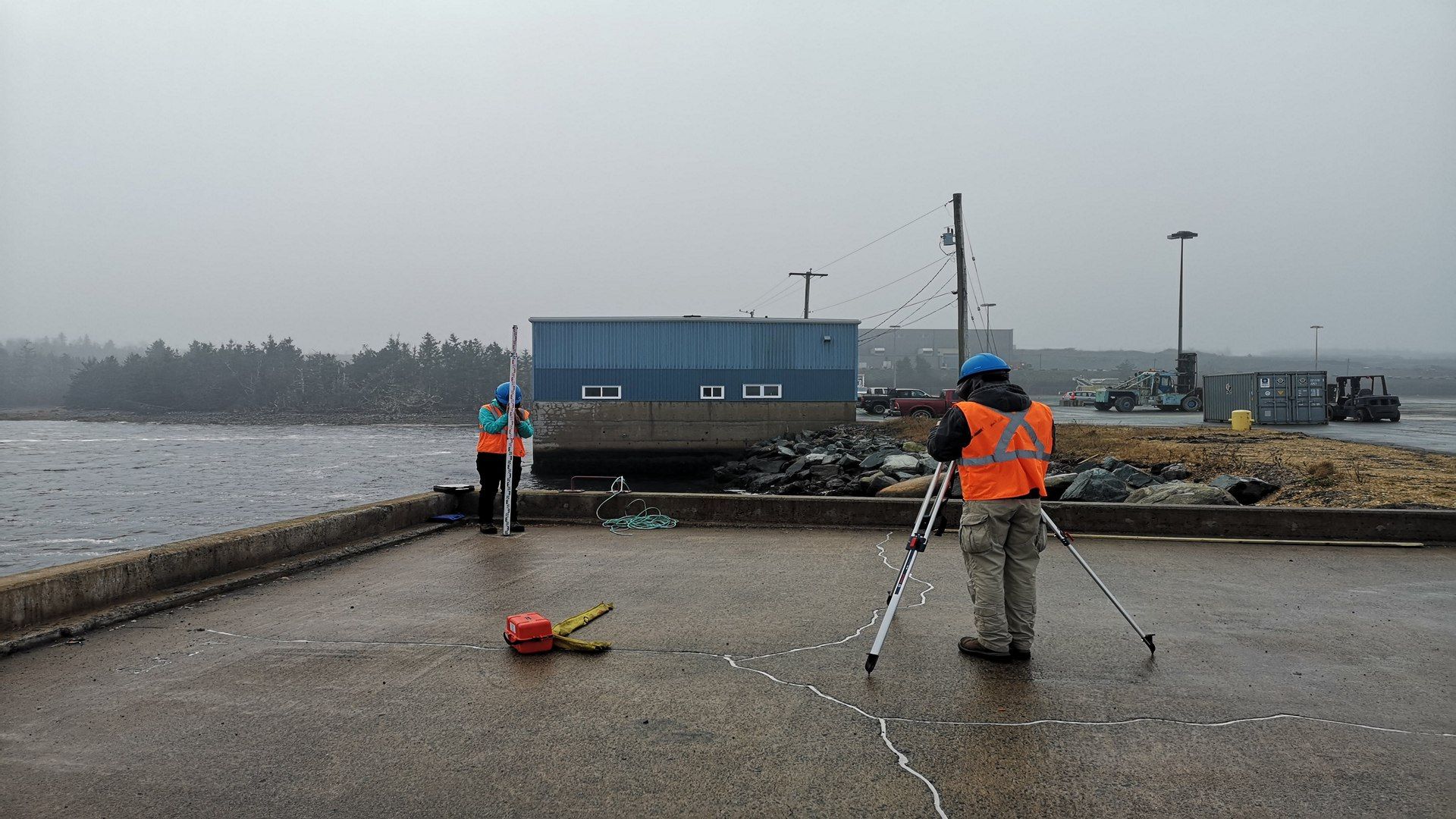
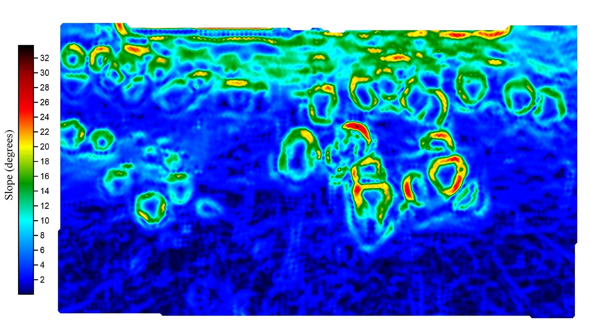
CSR undertakes bathymetry surveys using multibeam and single beam echosounder sensors interfaced with inertial navigation systems. Multibeam bathymetry provides high-resolution, full coverage seafloor mapping to International Hydrographic Organization (IHO) Special Order standards, while single beam bathymetry is an effective method for surveying shallow, nearshore environments. We provide our clients with bathymetry data in the form of soundings or contours that can be used to determine safe passage for vessels in navigation channels and berthing areas.
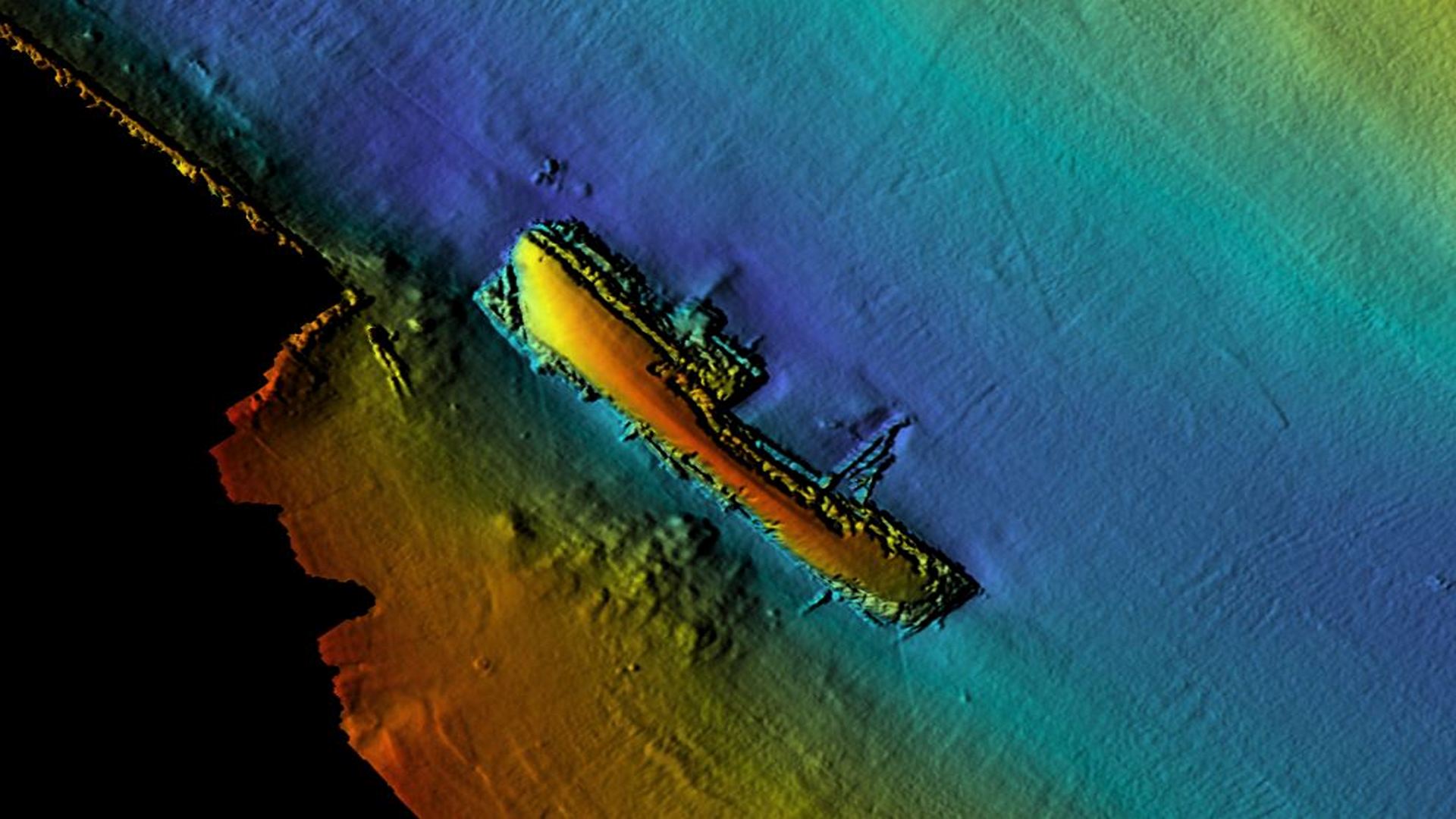
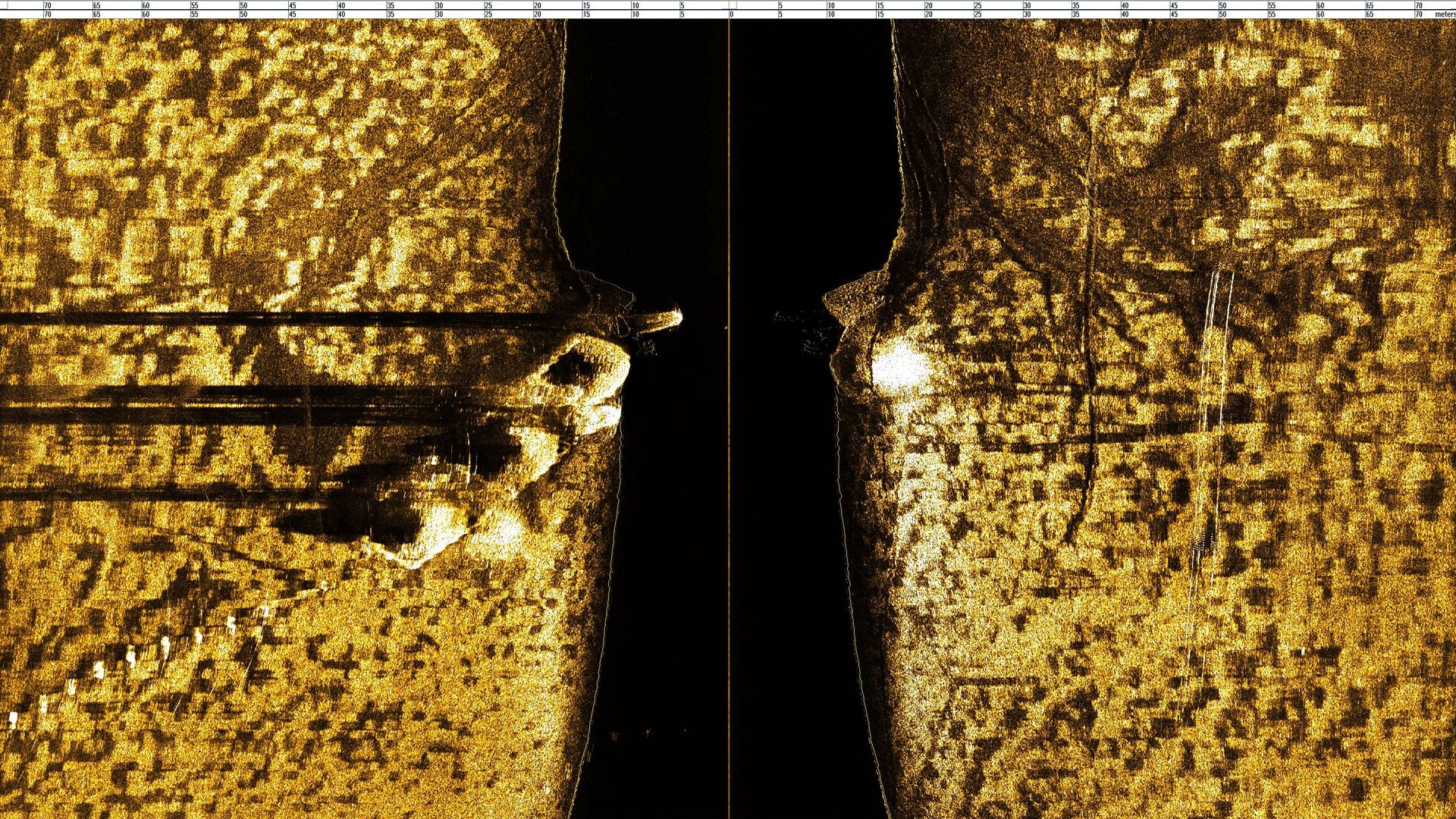
CSR utilizes geophysical survey methods to identify natural or anthropogenic objects, such as debris, boulders, and shipwrecks, that may impact safety of navigation or under-keel clearance. Using our advanced equipment, including multibeam echosounders, sidescan sonars, sub-bottom profilers, and magnetometers, we can locate and map underwater objects and structures to give our clients confidence on what lies on the seafloor and below the subsurface.
- IHO Special Order Hydrographic Surveys
- Navigational Safety Surveys
- Port and Harbour Clearance Surveys
- Hazard Detection Surveys
- Tidal Datum Computations
Gallery
- Overview
- Pipeline & Cable Routing
- Dredging Support
- Navigation Safety & Charting
- Renewable Energy Developments
- Ghost Gear Locate & Recovery
- Ice Scour Mapping & Analysis
- Construction & Engineering Support
- Coastal Zone Mapping
- Port & Harbour Developments
- Geotechnical Investigations
- Environmental Mapping & Monitoring