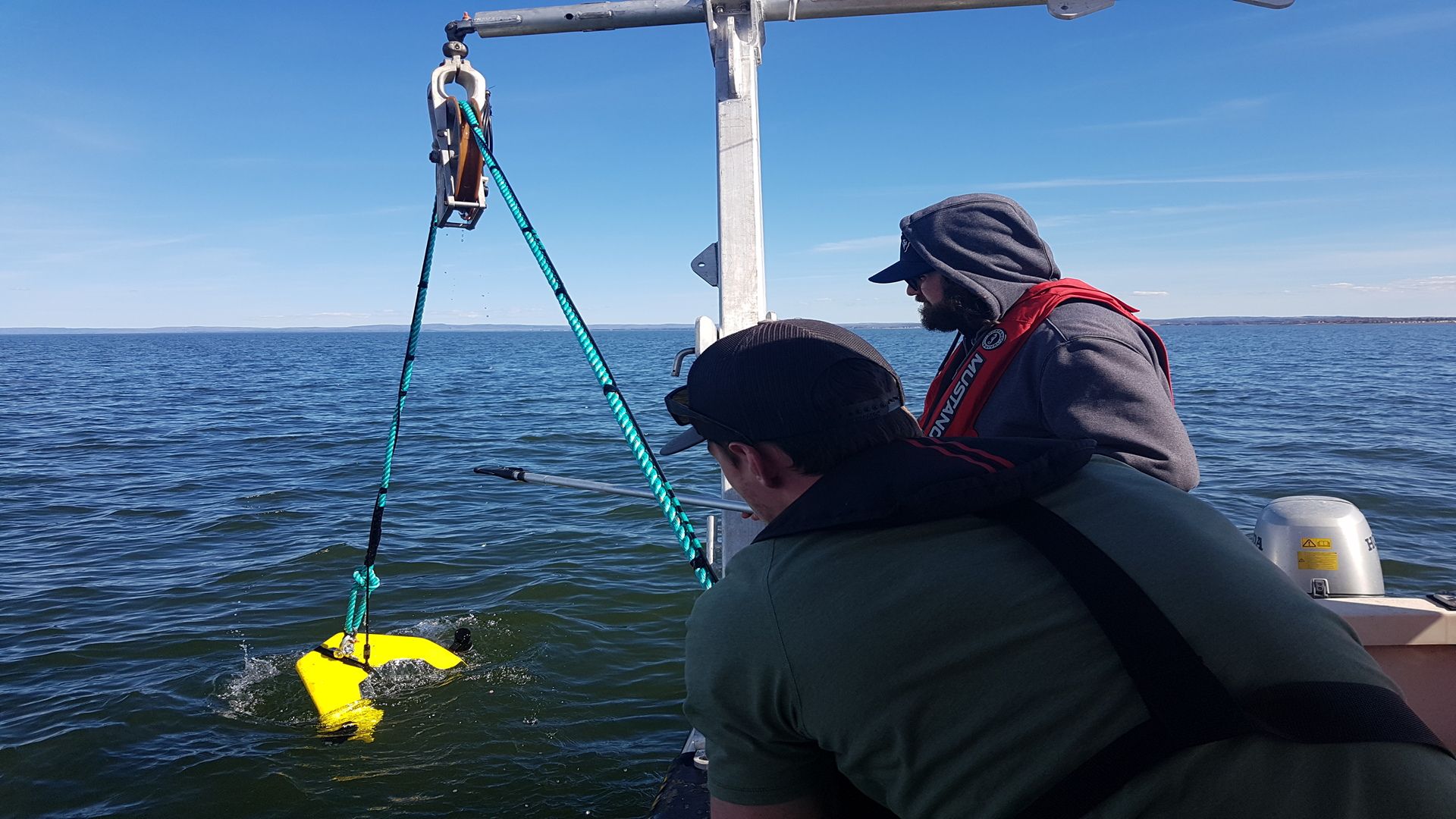
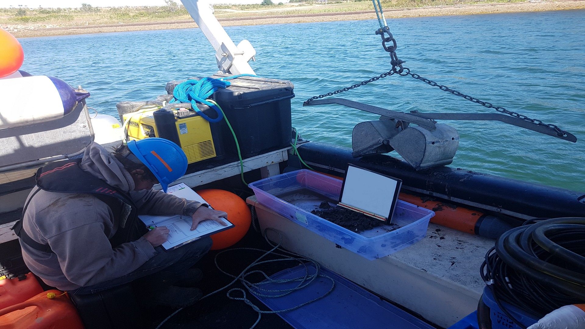
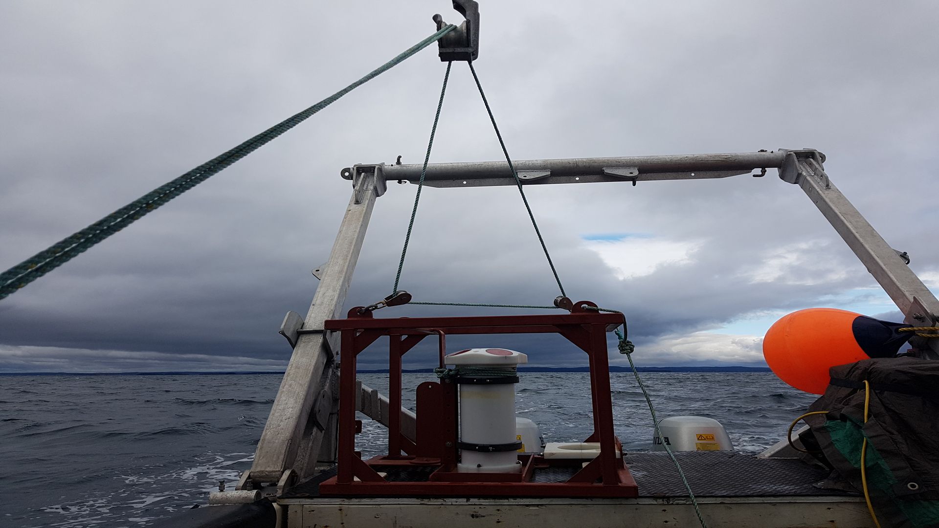
Environmental Mapping & Monitoring
CSR GeoSurveys Ltd. specializes in conducting environmental baseline and impact monitoring surveys for complex marine construction and engineering projects in estuarine, coastal, and offshore marine environments. We utilize a combination of hydrographic, geophysical, geotechnical, and/or oceanographic survey techniques to acquire data that can assist with coastal management decisions, environmental impact assessments, resource exploration, and the planning and design of marine infrastructure developments.
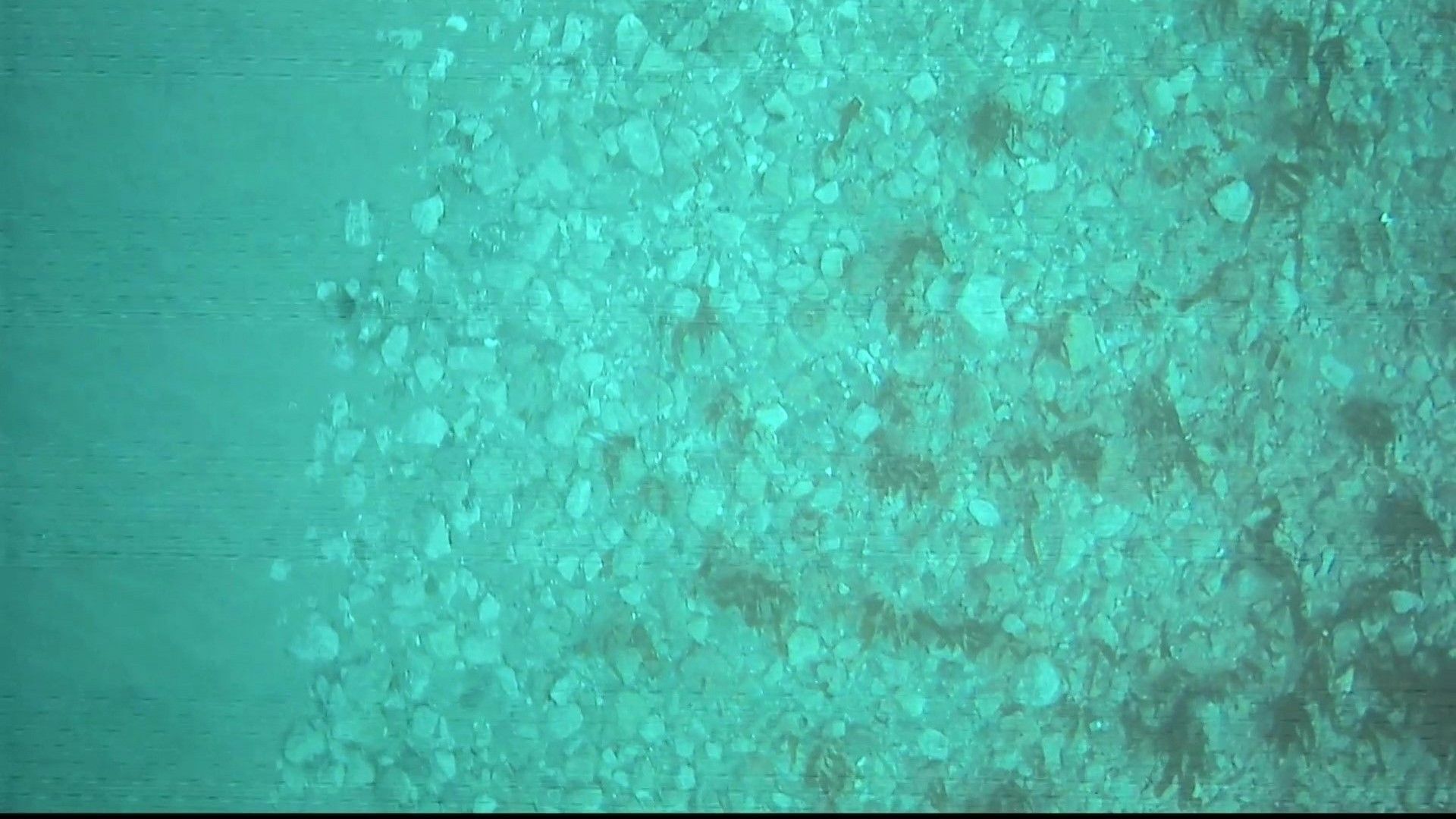
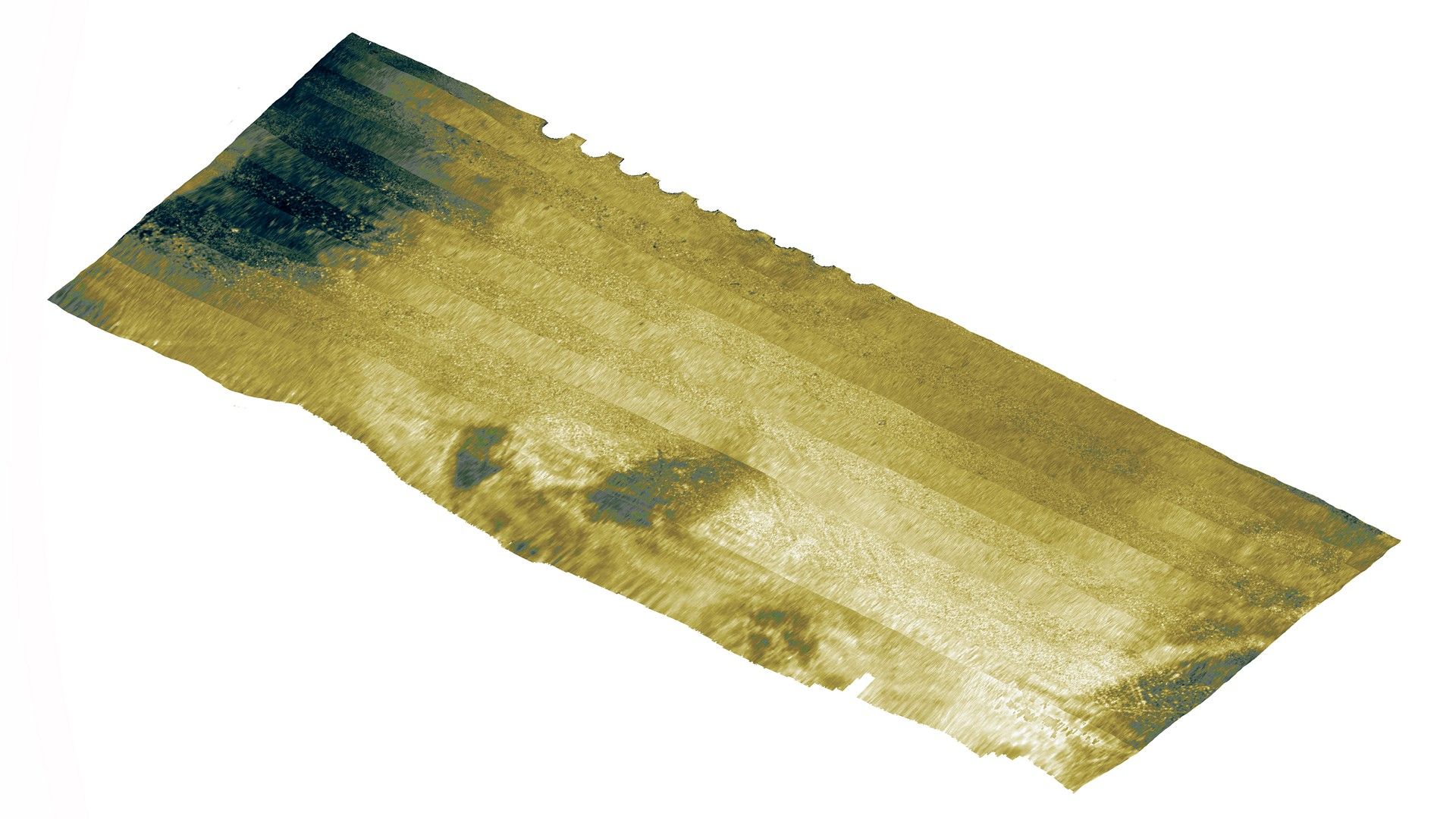
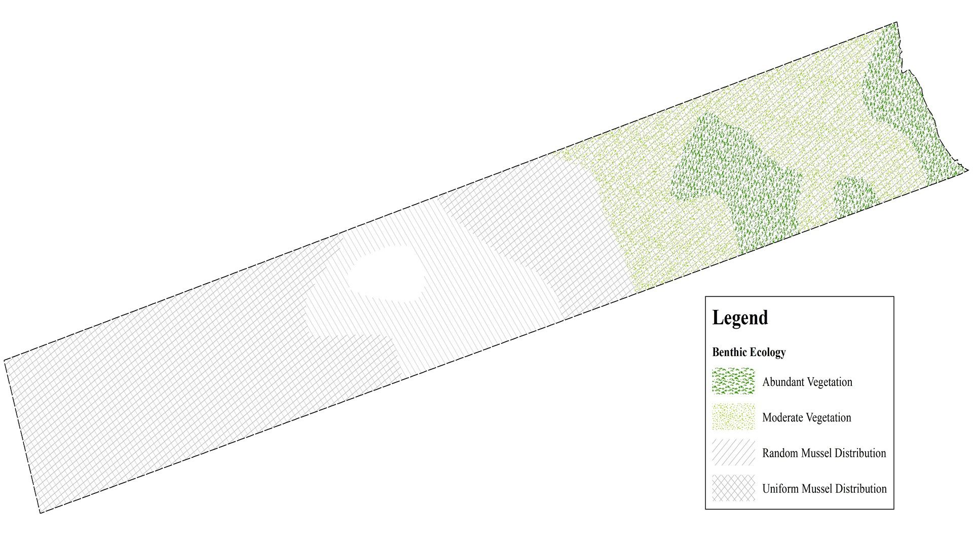
- Habitat Mapping & Monitoring
- Surficial & Subsurface Geological Mapping
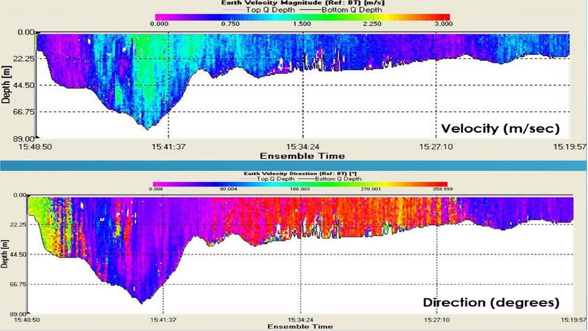
- Tide & Current Analysis
- Sediment Transport Studies
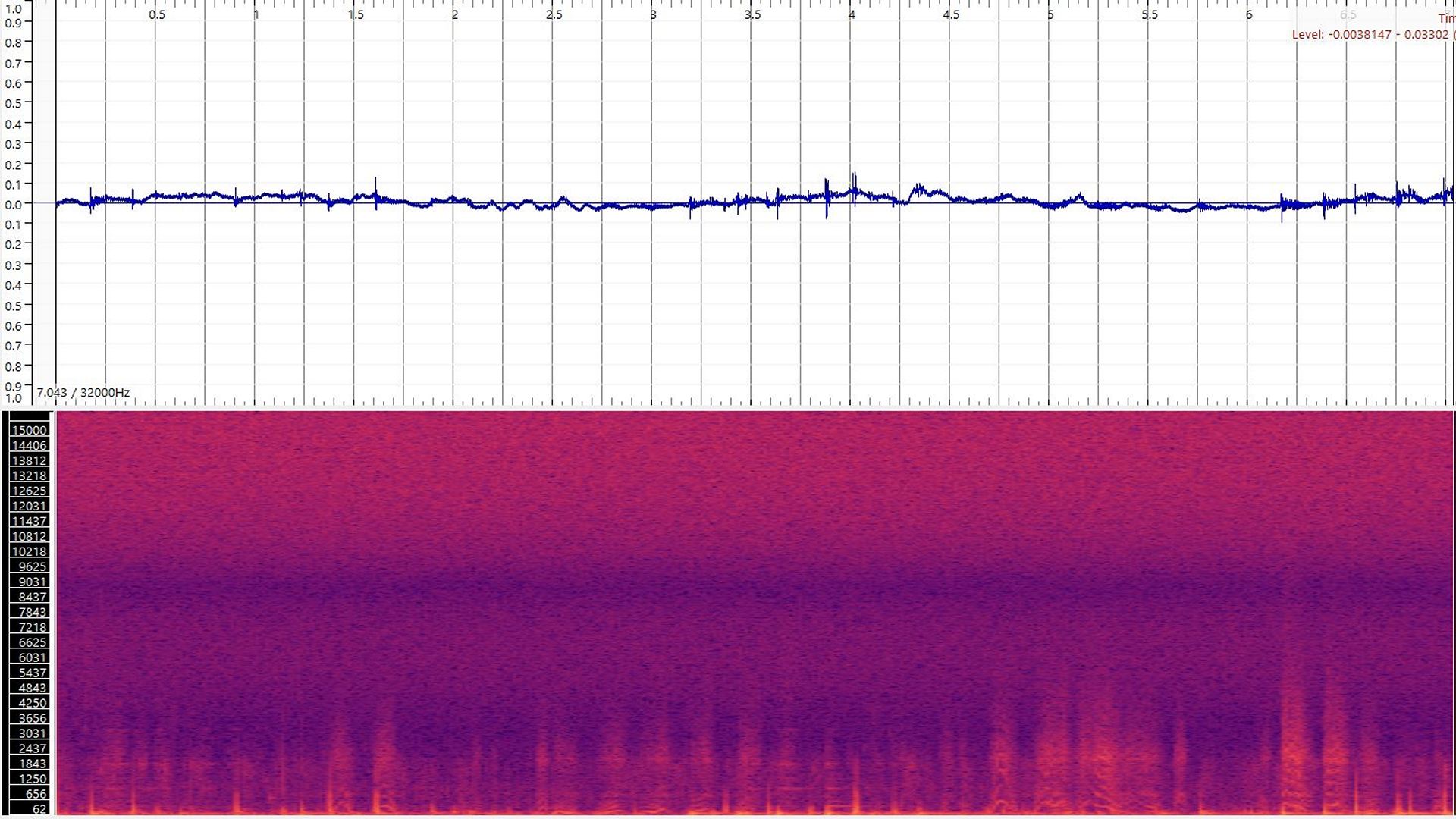
- Marine Mammal Acoustic Monitoring
- Intake/Outfall Mapping
- Debris Identification & Mapping
Gallery
- Overview
- Pipeline & Cable Routing
- Dredging Support
- Navigation Safety & Charting
- Renewable Energy Developments
- Ghost Gear Locate & Recovery
- Ice Scour Mapping & Analysis
- Construction & Engineering Support
- Coastal Zone Mapping
- Port & Harbour Developments
- Geotechnical Investigations
- Environmental Mapping & Monitoring