Port Development Project, Montserrat
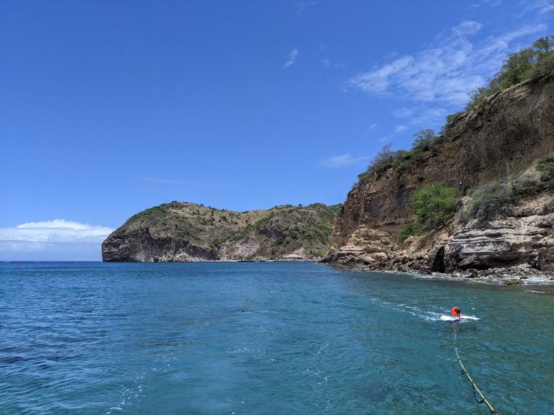
CSR GeoSurveys Ltd. was contracted to conduct a hydrographic and marine geophysical survey in Montserrat to support the development of a new port facility for the Government of Montserrat.
Hydrographic & Marine Geophysical Surveys
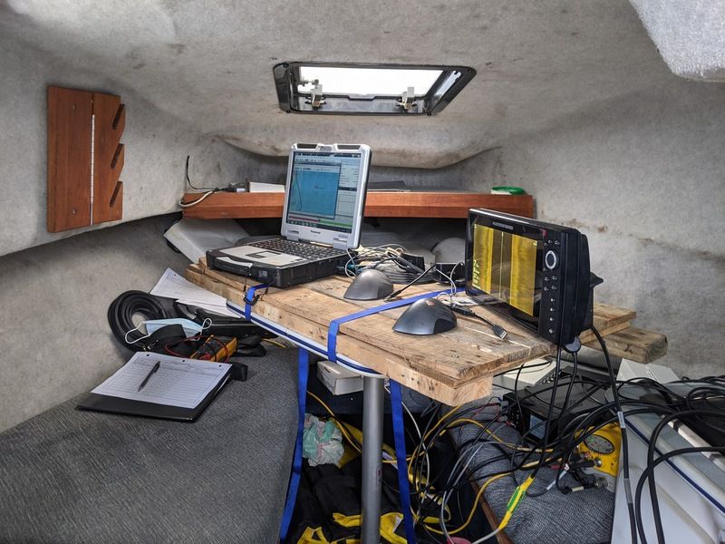
CSR completed a hydrographic and marine geophysical investigation involving the acquisition, processing, interpretation, and reporting of several complimentary datasets.
Data collected during the survey included:
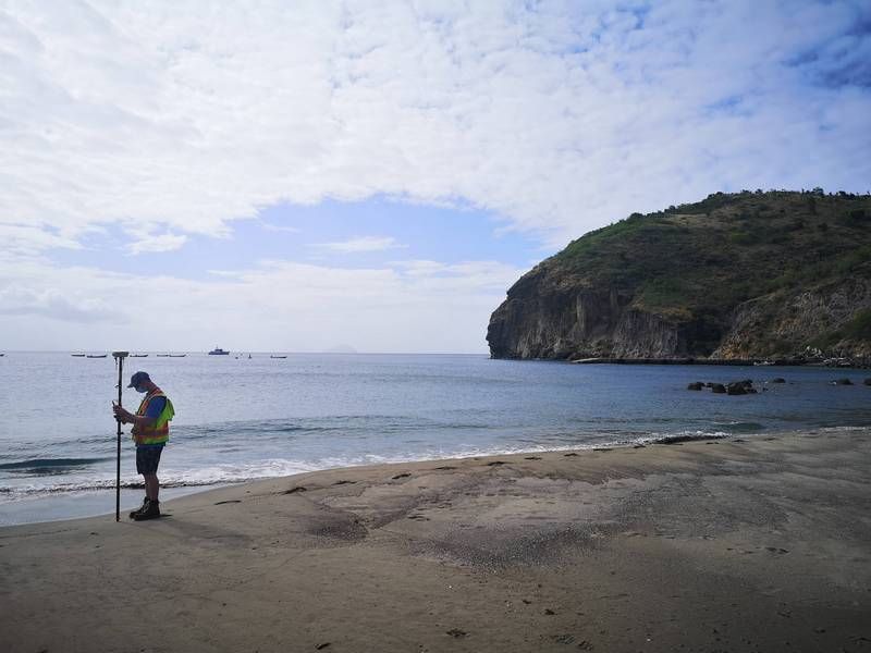
- RTK-GPS data were recorded to provide real-time horizontal geo-referencing for the hydrographic and geophysical data.
- Tide gauge water level data were recorded to provide vertical referencing throughout the duration of the survey.
- Single beam echosounder data were collected to map the seabed bathymetry.
- Sidescan sonar data were acquired to categorize surficial sediment types and identify seabed features.
- Single channel seismic reflection data were acquired to map the subsurface geology and delineate top of bedrock.
The hydrographic and geophysical datasets collected during the project provided information required for the planning and design of the proposed port infrastructure. The results supported assessment of seabed conditions, subsurface geology, and construction feasibility for the new port developments in Montserrat.
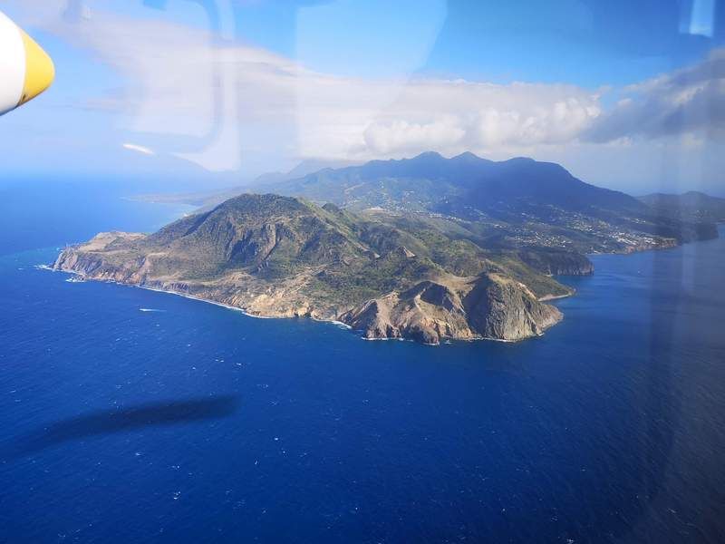
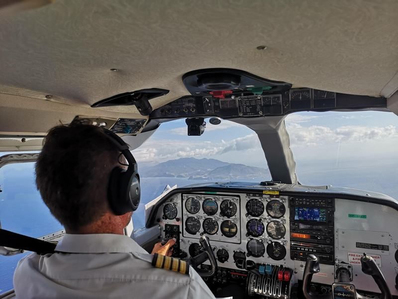
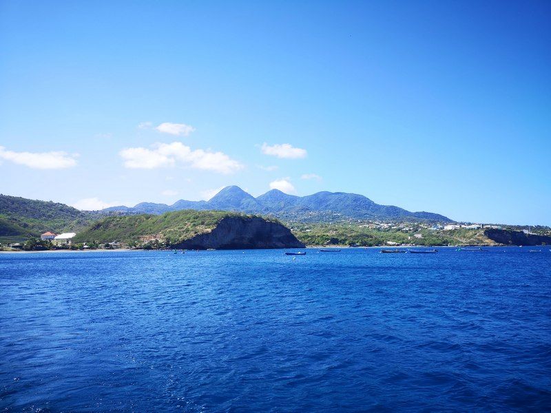
Gallery
Project Challenges
The project required extensive logistical planning and operational coordination to safely execute the field operations during the COVID-19 pandemic. Additional health, travel, and operational protocols were implemented to maintain crew safety, minimize disruptions to project activities, and ensure successful completion of the survey program while maintaining project delivery standards.
- Port Development Project, Montserrat
- Chukchi Shelf Regional Studies
- Submarine Cable Reinforcement Project
- Offshore Wind Turbine Project
- HVDC Submarine Power Cable Project
- Submarine Pipeline Project
- Sea of Okhotsk (Russian Arctic)
- Route Assessment Project, Chukchi Sea
- Resolute Bay (Canadian Arctic)
- Hydrographic Surveys, Halifax Harbour
- Wind Farm Submarine Cable Route
- Artificial Island Sediment Mobility Projects, Beaufort Sea