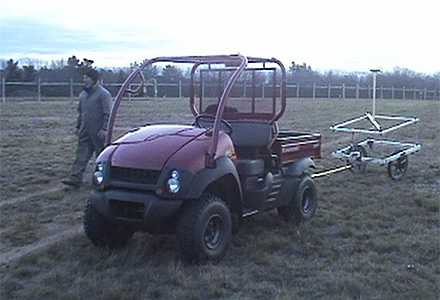
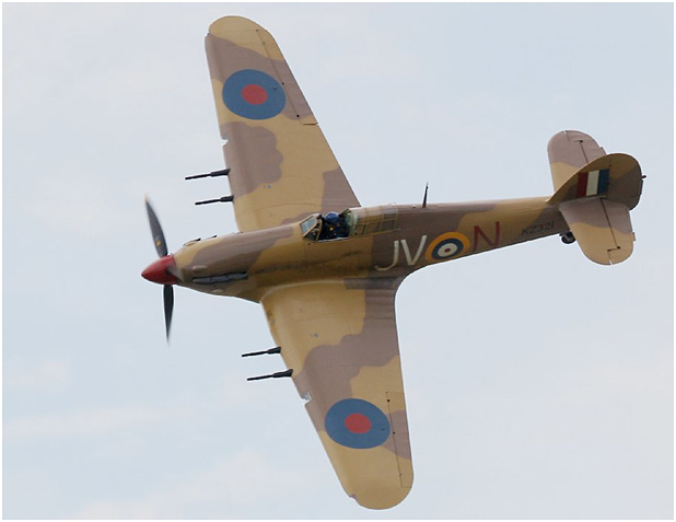
EM61 MAPPING, Department of National Defence
CSR was contracted to search for a buried Hawker Hurricane airplane that was buried after the Second World War using an EM61 system.
The strongest EM readings as indicated on the survey map were the result of above ground structures such as utility buildings, steel post, electrical post, sign post, above ground antenna, and light systems. The more subtle and point source targets result from; underground objects, well covers, and manhole covers.

The most likely targets associated with the buried plane included strong EM readings identifiedwithin Area A and a set of linear anomalies found at the locations identified as Area B and Area C.

