Shallow Sub-bottom Investigations
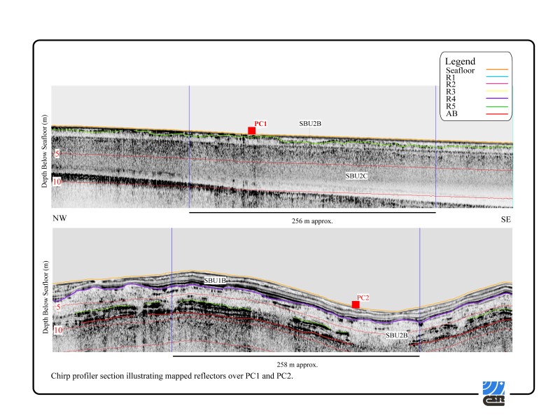
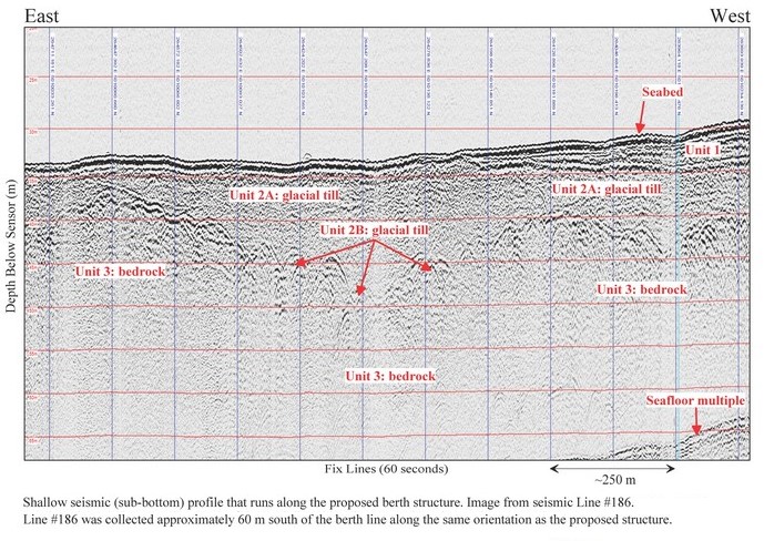
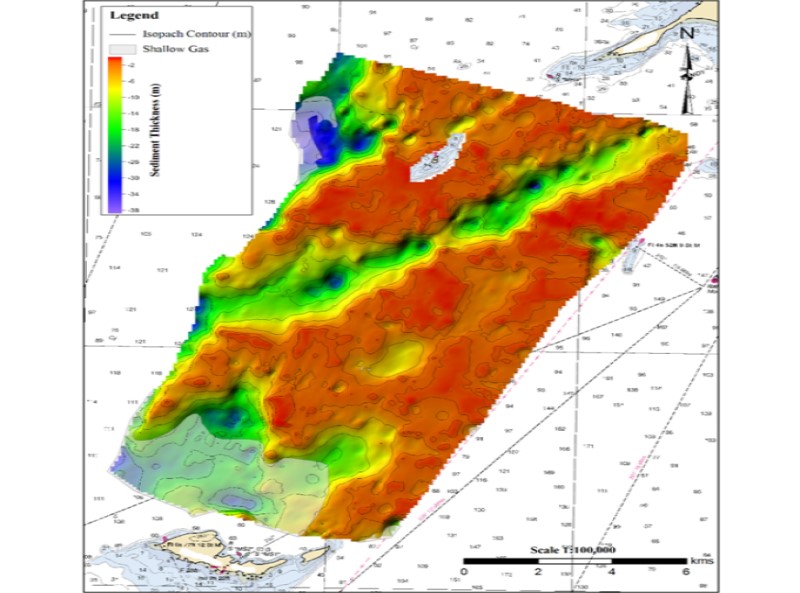
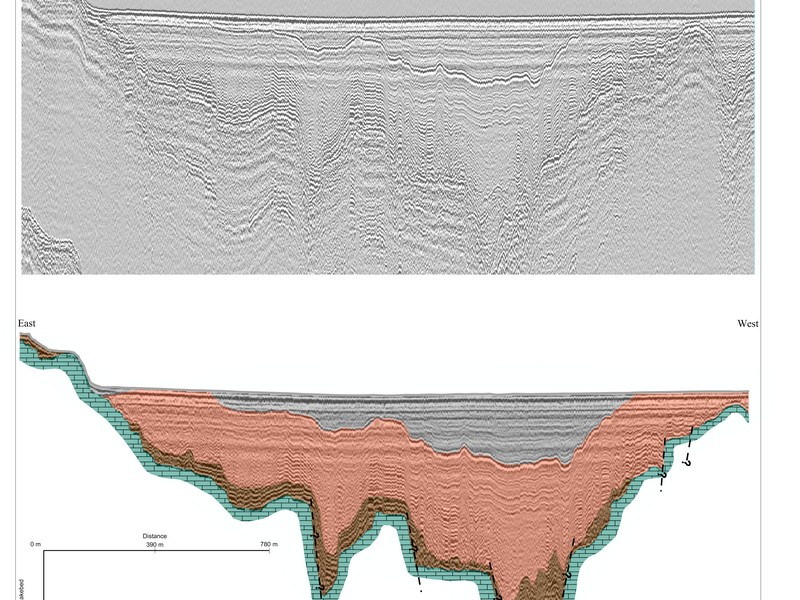
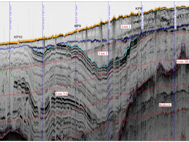
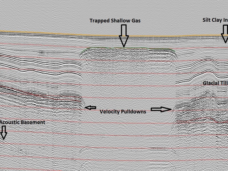
CSR has over 35 years of experience acquiring geophysical and geotechnical data for a variety of marine engineering related projects. CSR works closely with projects engineers to offer innovative and cost effective solutions to their marine applications. We deliver high resoltion bathymetry charts, surficial sediment/bedrock maps, and depth to bedrock maps showing overburden thickness.
- Port Expansion Surveys
- Marine Terminal Site Surveys
- Outfall Location Mapping
- Depth to Bedrock Surveys
- Geohazard Site Surveys
- Foundation Surveys
- Overview
- Pipeline & Cable Routing
- Dredging Support
- Navigation Safety & Charting
- Renewable Energy Developments
- Ghost Gear Locate & Recovery
- Ice Scour Mapping & Analysis
- Construction & Engineering Support
- Coastal Zone Mapping
- Port & Harbour Developments
- Geotechnical Investigations
- Environmental Mapping & Monitoring
