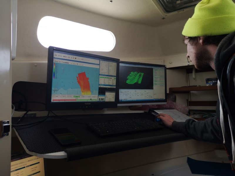
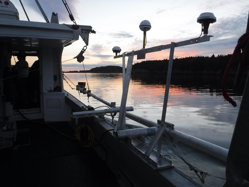
Multibeam & Single Beam Hydrographic Surveys
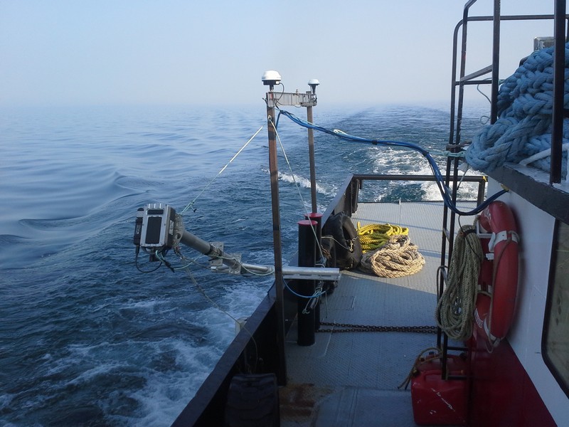
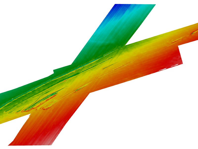
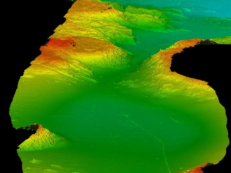
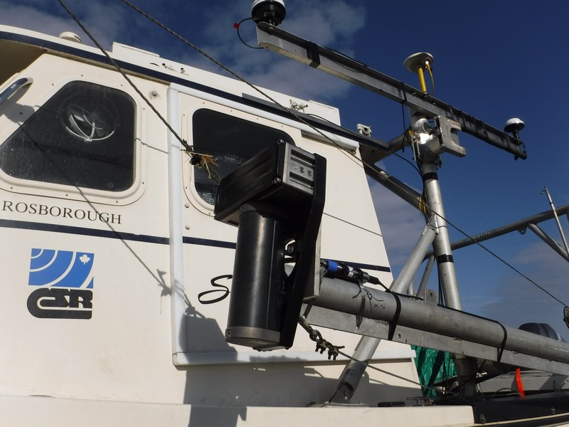
CSR uses single and multibeam technologies to produce a variety of sounding and bathymetric contour charts for our clients, as well as surface and point cloud data. Our solutions include RTK positioning, tidal monitoring, ellipsoidal referenced surveying, and seafloor and seafloor coverage referenced to the highest of IHO standards.
- Singlebeam / Multibeam Surveys
- Navigation Surveys
- Harbour Clearance Surveys
- Hazard Surveys
- Pre and Post Dredge Surveys
- Sediment Transport Studies
- Artificial Drilling Island Surveys
- Overview
- Pipeline & Cable Routing
- Dredging Support
- Navigation Safety & Charting
- Renewable Energy Developments
- Ghost Gear Locate & Recovery
- Ice Scour Mapping & Analysis
- Construction & Engineering Support
- Coastal Zone Mapping
- Port & Harbour Developments
- Geotechnical Investigations
- Environmental Mapping & Monitoring
