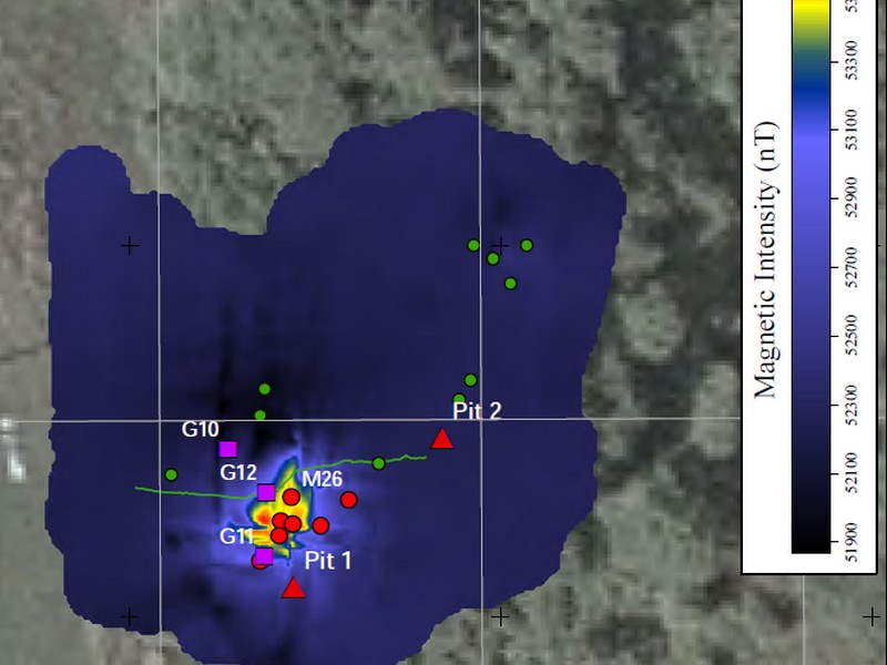
Ground Magnetic Surveys
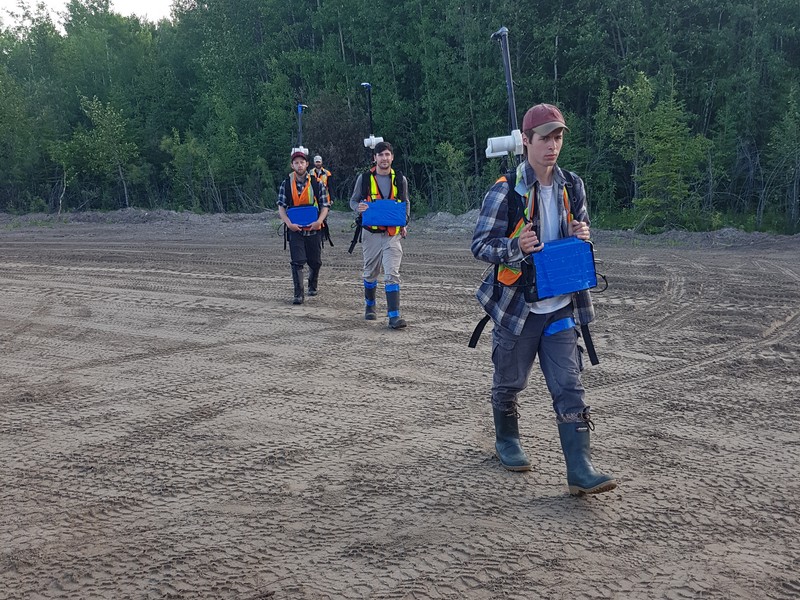
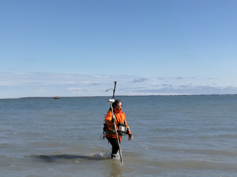
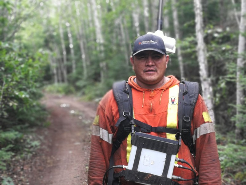
A surface magnetic survey is a low-impact, non-invasive geophysical technique. There are several varieties of magnetometers used in geophysical exploration and all are transportable by one person in the field using a backpack. The measurement can be taken at one point or in a continuous profile and causes no surface disturbance.
The survey design for a ground magnetics survey depends on the anticipated target size and depth. Stations are generally laid out in a grid or profiles perpendicular to the strike.
The data must be corrected for: diurnal effects relating to temporal variations in the geomagnetic field; the normal-field correction to account for variations in geomagnetic intensity with latitude and longitude; as well as elevation and terrain corrections. A base station magnetometer may be utilized to continuously monitor diurnal variation.
Gallery