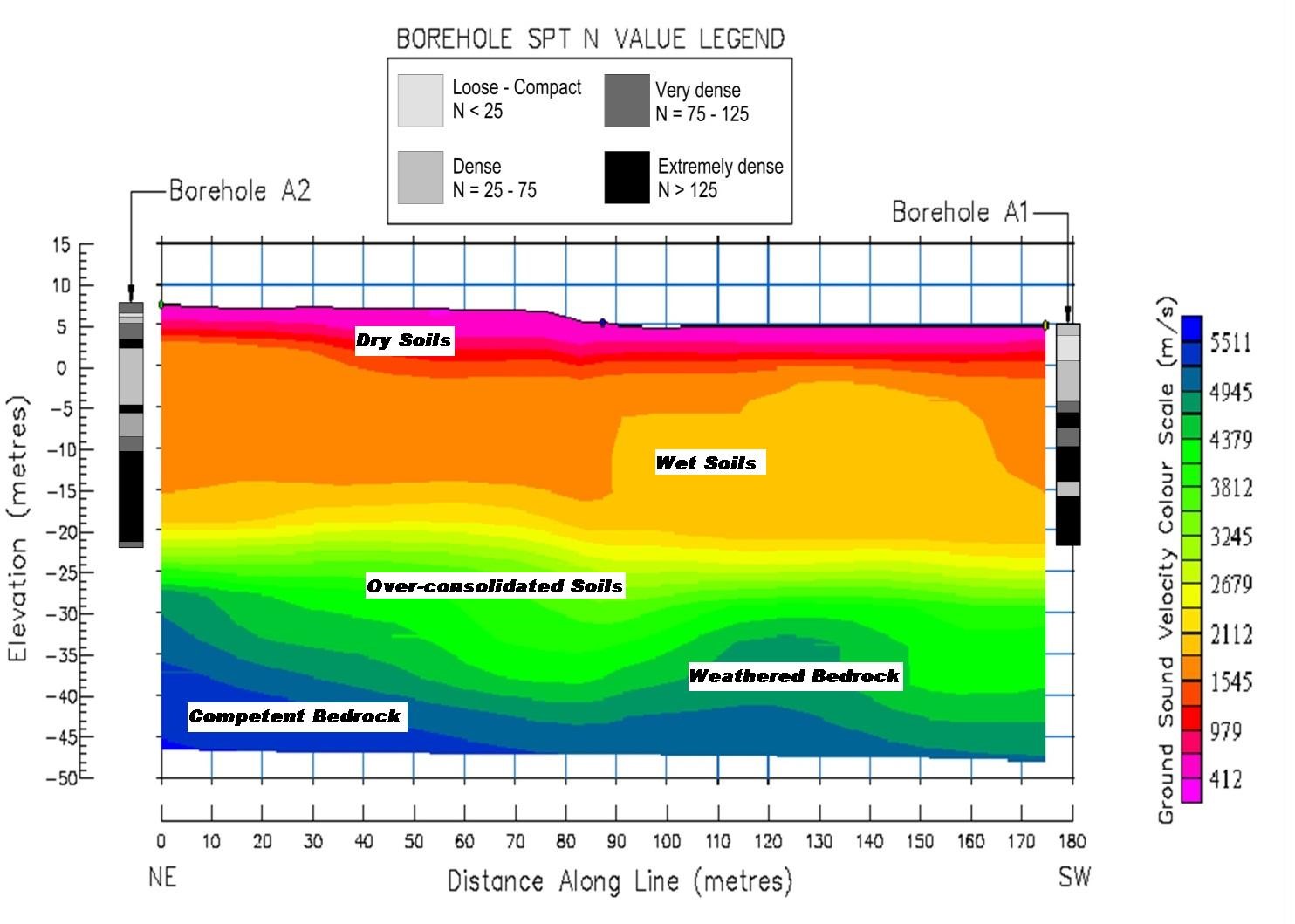
Depth to Bedrock Mapping
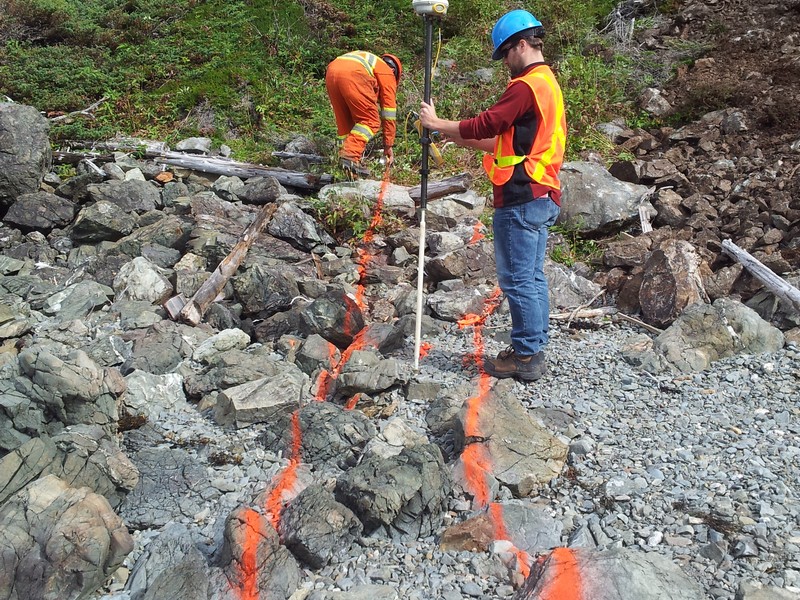
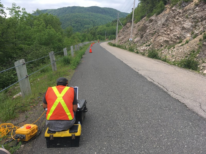
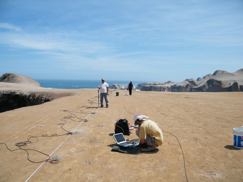
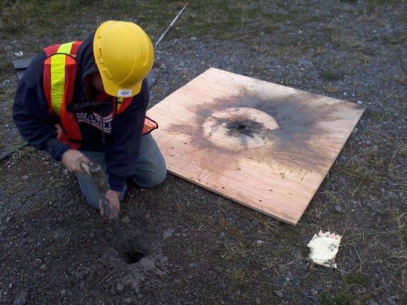
For any project that requires information on the location and composition of bedrock we recommend refraction be used as an essential tool in the field.
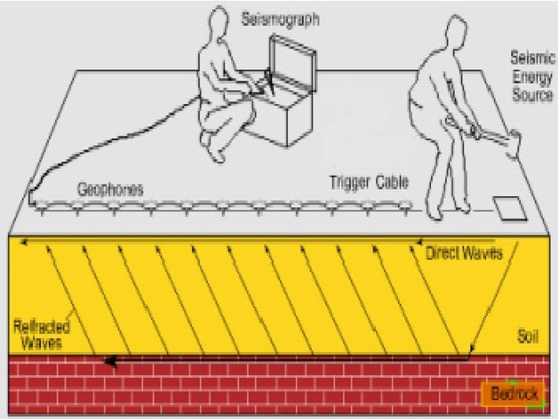
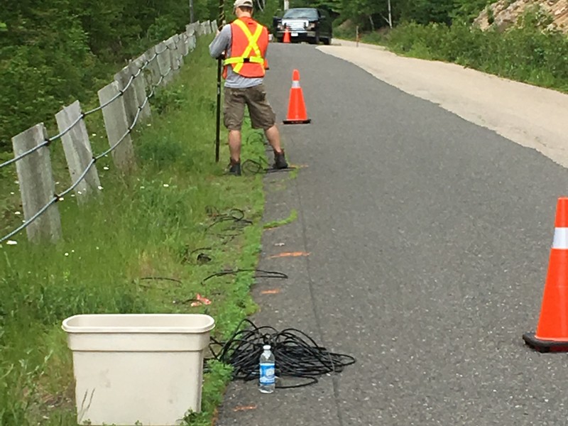
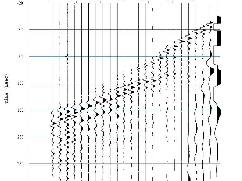
In a refraction survey, the quantity measured is the travel time between a signal source and the arrival of energy from that source at a detector. The common approach is to lay out a string of detectors (geophones on land, hydrophones in the water) at increasing distances from the source. The resultant data is presented as a plot of arrival time as a function of distance from the source. On such a plot (known as a time-distance T-D plot), the first arrivals would form a series of line segments. The inverse slope would be the velocity of the water (marine enviroment), the velocity of the unconsolidated sediment / glacial till, and the underlying bedrock respectively. To account for dipping interfaces, which also affect the slope of the line segments it is essential to record over the same array from sources at both ends of the spread.
Seismic refraction has many applications. In geotechnical engineering, it is used to determine depth to and rippability of bedrock for design and cost estimates of road cuts, pipelines, and other civil engineering projects. Depth to and rippability of bedrock are also important in aggregate investigations. Groundwater applications include mapping bedrock channels, identifying faults and fracture zones, and delineation of geologic boundaries to constrain hydrogeologic models.
Gallery